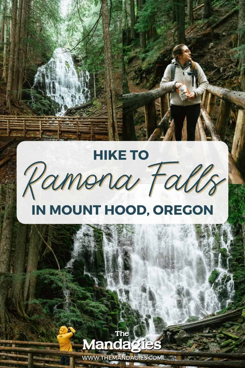
Post Summary: What to expect on Ramona Falls Hike in Mount Hood, Oregon
Spending a weekend in Mount Hood? Prepare yourself for lots of adventure! This place is one of the best weekend trips from Portland for outdoor lovers in any season.
Mount Hood is known for hiking trails, lazy lake days, and cozy cabins, but our favorite features of Mount Hood are the Oregon waterfalls in the area!
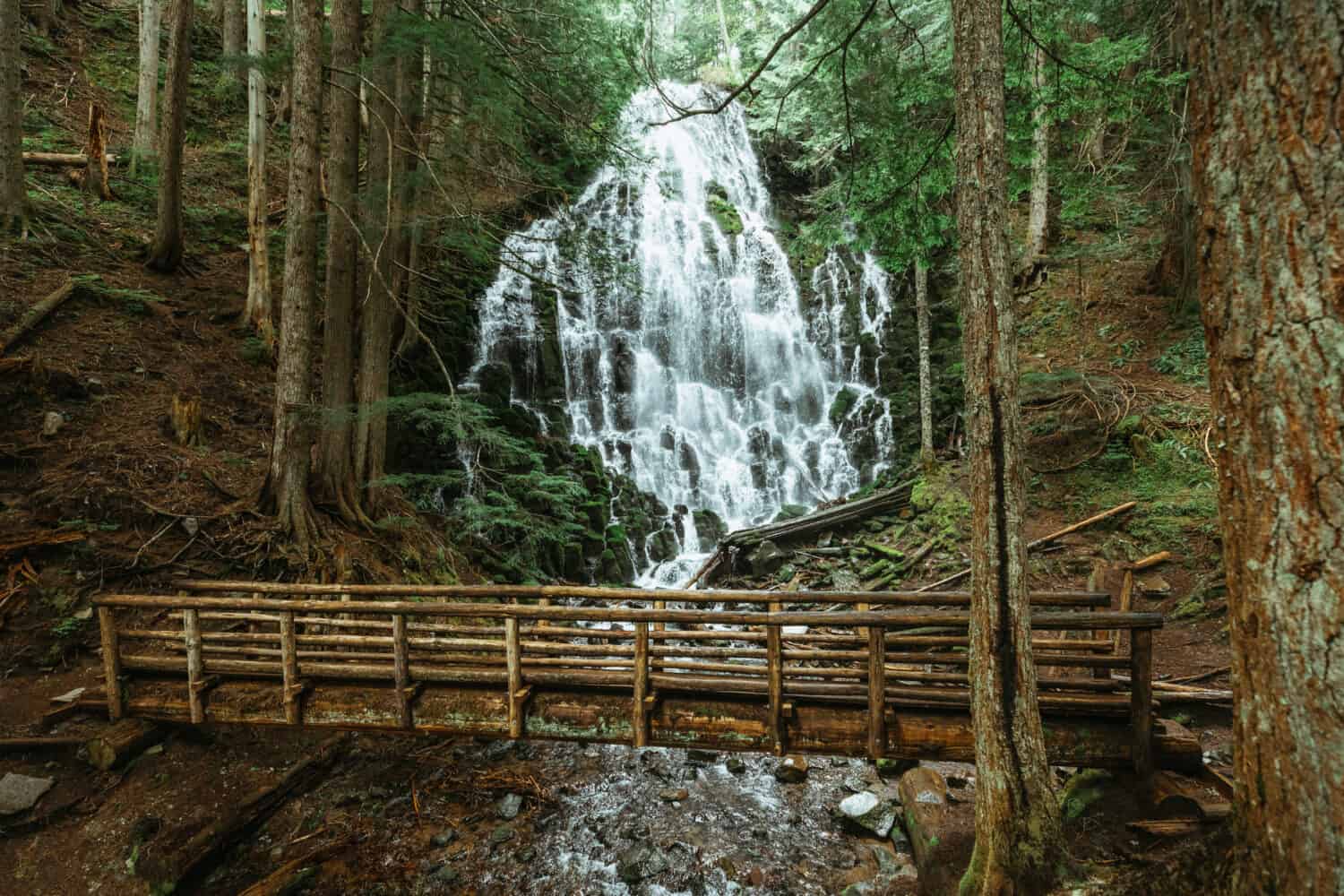
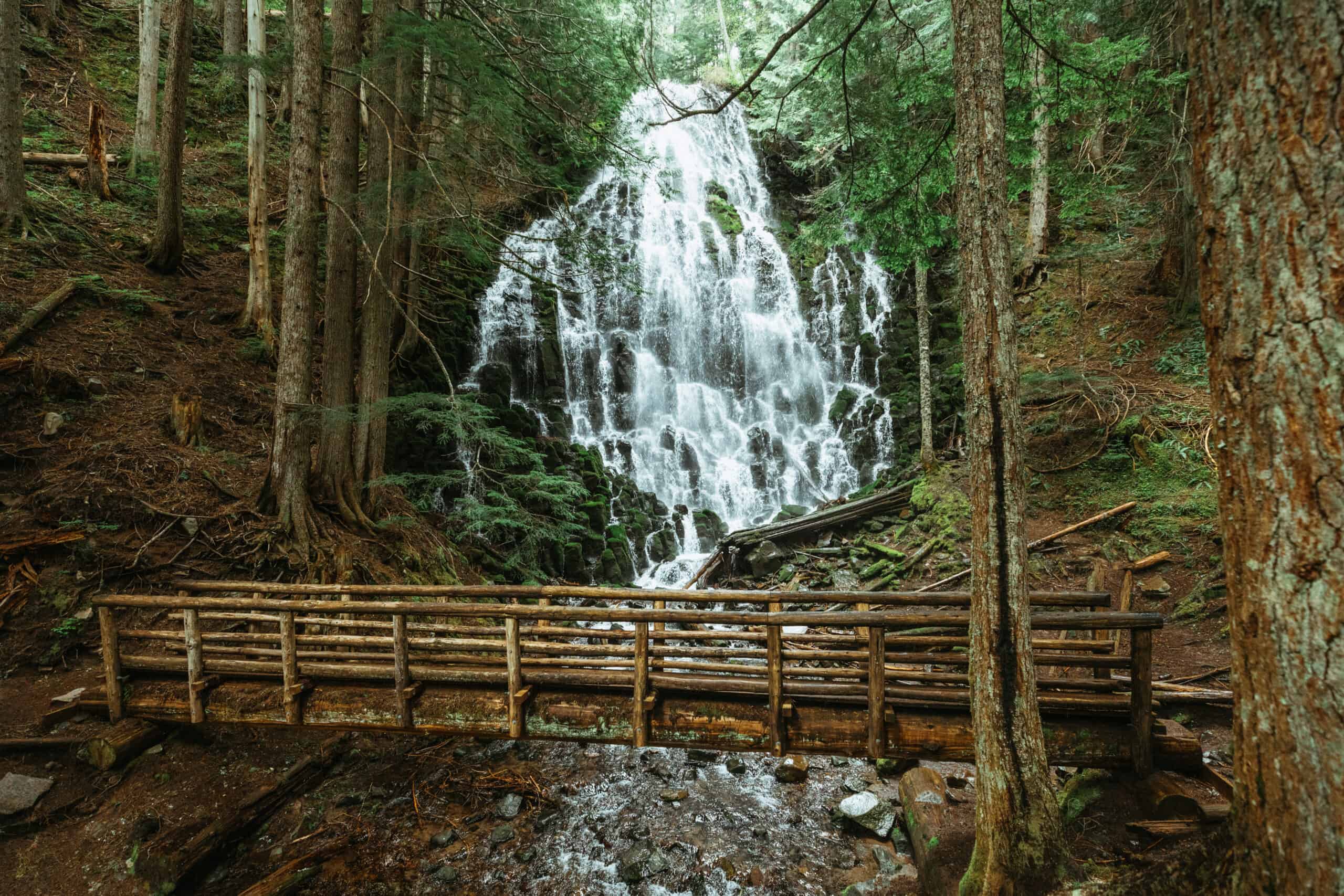
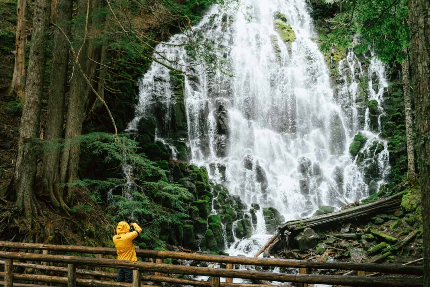
In the summertime, there are endless waterfall trails to explore in the Pacific Northwest. Among all of them, our absolute favorite waterfall in Mount Hood has got to be Ramona Falls. This dramatic 120-foot waterfall tucked away in the national forest is a fun hike for people who like a challenge!
With mountain views, lush trails, and camping opportunities, there are endless ways to experience the beauty of Ramona Falls.
In this post, we’re sharing how to reach Ramona Falls, the best times to visit, what to pack, and how to plan an incredible trip to Mount Hood in Oregon!
How To Reach The Incredible Ramona Falls Trail in Mount Hood, Oregon
Ramona Falls Trail Details
- Distance: 7.1 mile loop
- Elevation Gain: 1,035 feet
- Difficulty: Moderate (tricky river crossing)
- Trailhead Coordinates: 45.3861539,-121.8273722
History of Mount Hood National Forest
If you hiked the Ramona Falls trail as a child, chances are that it looks much different today than you remembered it! The Ramona Falls hike used to be an easy trail, but in the mid-1900s an access road was washed out, extending the trail 1.4 miles farther.
In 2009, Ramona Falls was incorporated into the Mt. Hood Wilderness area, which means hikers now much use the appropriate backcountry precautions, including packing the Ten Essentials when embarking on the trail.
In 2014 at the Sandy River Crossing, a hiker was swept away off the seasonal footbridge after a sudden rainstorm and rising water levels. Deciding not to replace the bridge, the Forest Service now has posted warning signs about the river crossing, and it’s up to hikers to determine safe water levels and crossing conditions.
The Ramona Falls trail has constantly changed throughout the years! You can expect it to change as well moving into the future, which means it could be a totally new experience next time you come back to visit.
Read More: The Complete Oregon Road Trip Route (From 5 Days to Two Weeks!)
What Makes Ramona Falls So Special?
Dues to its proximity to Portland, gradual elevation change, and dramatic falls, Ramona Falls trail is a popular summer Oregon hike to choose from!
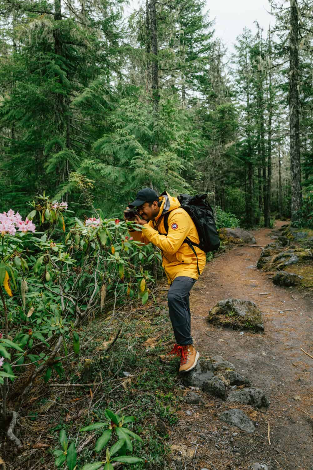
Ramona Falls trail also provides plenty of examples of classic Pacific Northwest flora and fauna. Along the trail, you can expect to see Douglas Fir trees, rhododendrons, mountain Hemlock, Reindeer lichen, Pinemat manzanita, and Lodgepole pine.
Love identifying plants? We just got this PNW plant ID book and it’s been so fun to take on Oregon hiking trails!
Read More: 101 Unique Things To Do In The Pacific Northwest
Best Time To Visit Ramona Falls
The best time to visit Ramona Falls is after a dry spell. It is not advised to hike to Ramona Falls in heavy rain, or when water levels are high. The river crossing is easiest from mid-summer to early fall when rainfall in Oregon is at its lowest.
If you decide to take the Ramona Falls trail in the spring or winter, come prepared with all the necessary emergency equipment.
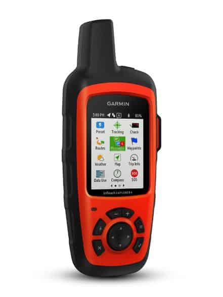
This includes the classic 10 essentials, but especially a communication device like a Garmin inReach, or tell someone about your itinerary and have them call for help if you aren’t back on time to touch base.
Read More: Shinrin Yoku- How To Go Forest Bathing In The Pacific Northwest

What To Bring To Ramona Falls
Waterproof Boots and/or Water Sandals
No matter what time of the year you take the Ramona Falls hike, you’ll have to take the Sandy River Crossing. In times of high water levels (Spring, early summer) you have a higher possibility of getting your feet wet in the river.
If it’s a hot day, consider hiking in sturdy water shoes like Tevas (the Hurricane XLT2s are our favorite).
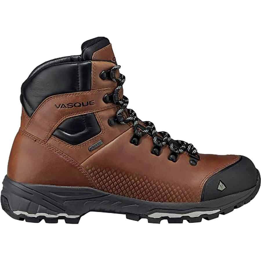
If you are coming in the wintertime, make sure your boots can take on a little water and still keep your feet dry. We like the Vasque St Elias boots (Women’s here) and have worn them for years!
Hiking Poles
Ramona Falls trail isn’t really a strenuous hike, but the consistent and gradual elevation gain can take a toll on your knees after a few miles!
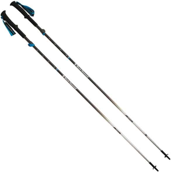
Balance your weight out with hiking poles and help you on that last leg before the falls. Hiking poles can also help you keep your balance over the river crossing!
Recommended: REI Trailbreak Trekking Poles (adjustable and soft!)
Hiking Plan / Communication Device
One of the most important things to bring on this hike is a communication device OR telling someone about your plan. Ramona Falls trail is incorporated into the Mt Hood Wilderness, so preparation for backcountry conditions is essential.
We always hike with our Garmin inReach (the mini) to contact someone if we need help. They can be pricey, but the peace of mind it brings ourselves and our loved ones is worth it on every trail.
If you don’t have the means to get a Sattelite communication, give someone a detailed plan of your trip, and make sure to touch base with them when you return home.
Ramona Falls Entrance Fees
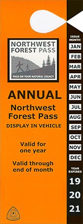
Parking at the Ramona Falls Trailhead requires a Northwest Forest Pass.
The Northwest Forest Pass is a $30 annual pass that gives you access to the National Forest areas in Oregon and Washington that have amenities like pit toilets.
If you don’t have one, you can buy one at Mt. Hood Foods (in the Zig Zag Ranger District) right off of Highway 26.
What’s the difference between all these passes? Here are 7 critical types of Pacific Northwest forest passes you should have.
Directions To Ramona Falls
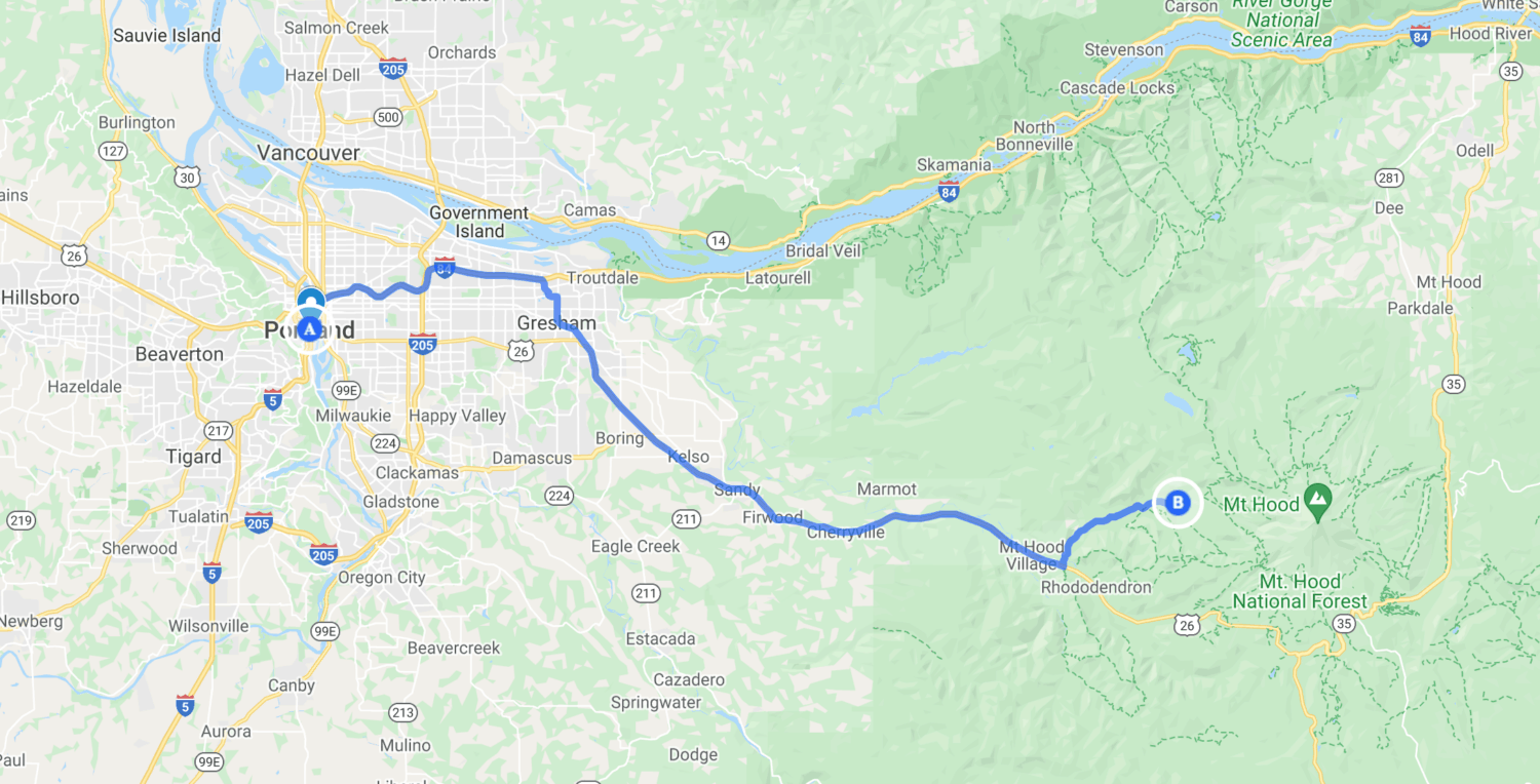
Here are some driving distances to Ramona Falls Trailhead from popular cities nearby:
- Portland, Oregon to Ramona Falls Trailhead: 52 miles, 1 hour and 15 minutes
- Hood River to Ramona Falls Trailhead: 60 miles, 1 hour 15 minutes
- Mt. Hood Village to Ramona Falls Trailhead: 8.7 miles, 17 minutes
Getting to Ramona Falls Trailhead is pretty straightforward and easy to follow. From Highway 26 (assuming you are coming from Portland), turn left onto East Lolo Pass Road, drive for 4.2 miles, and follow signs for Muddy Fork Road (Forest Road 1825) for the remainder of the drive.
The drive is easy until the last 0.5 mile, where the road gets pretty scrappy. If you have access to a high clearance vehicle, we would recommend taking that to the trailhead. The last half-mile of the road had deep, DEEP potholes that cover nearly the entire drive. Take this section slow!
Read More: 20 Brilliant Car Camping Hacks For Your Next Adventure
What To Expect On Ramona Falls Trail
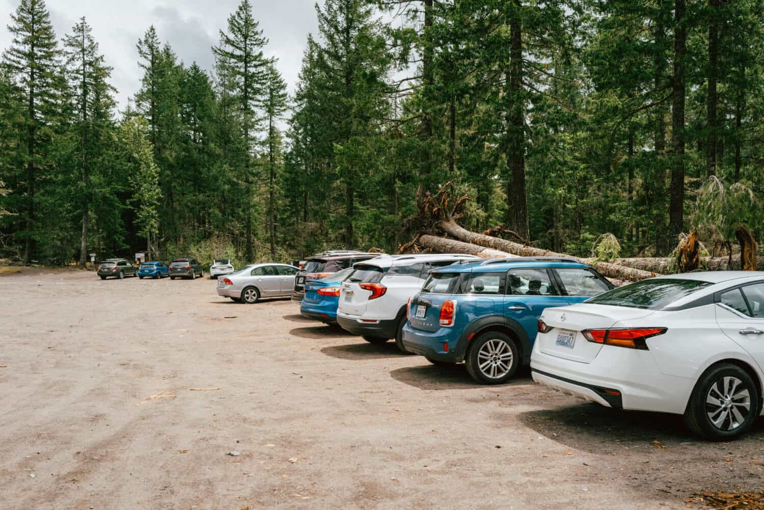
The Ramona Falls trailhead begins in a large open area. Park nearby the trailhead sign, or near the pit toilets. There are no designated spots but rather just an open area, so follow the pattern of cars already parked there.
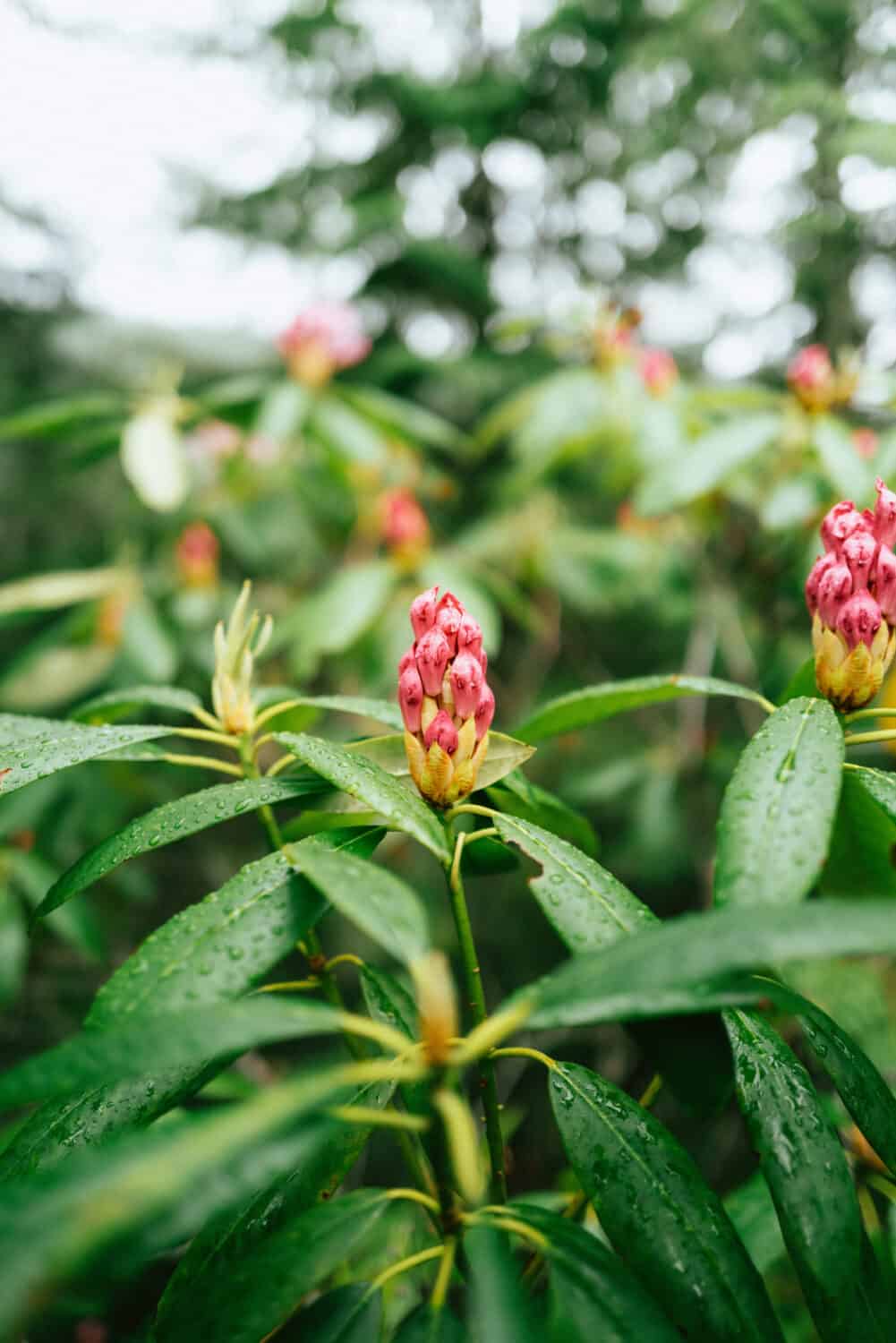
From there, the trail starts out in a gradual incline, nothing too strenuous. You’ll wander through areas filled with rhododendrons – come in the early summer to see them in bloom!
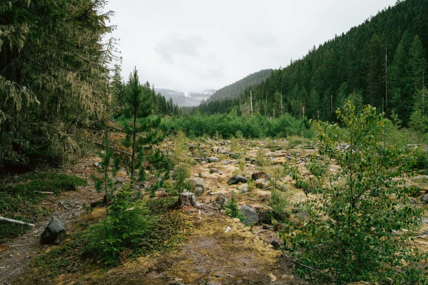
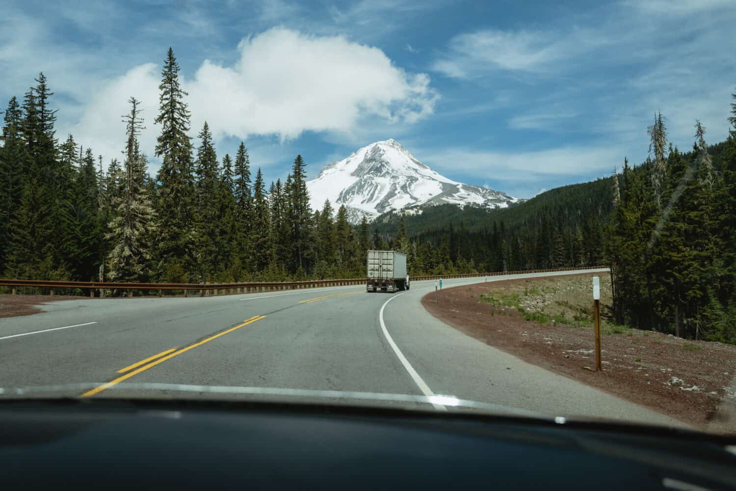
On a clear day, you can expect to see Mount Hood off to the side. Half of the time, the Ramona Falls hike is open clear of trees. As you get closer to the waterfall, the trail gets enveloped in a canopy of trees, creating that classic feel that many of the best Pacific Northwest hiking trails have.
You’ll eventually meet a fork in the trail. There is clear signage to tell you where to go – one way takes you along the Ramona Falls trail, and the other through a section of the Pacific Crest Trail!
If you opt to take the Ramona Falls loop trail, you’ll do a little bit of this section and come out from the PCT fork on your way back.
More adventures nearby: Check out over 25 Columbia River Gorge waterfalls, just 1.5 hours away!
The Sandy River Crossing
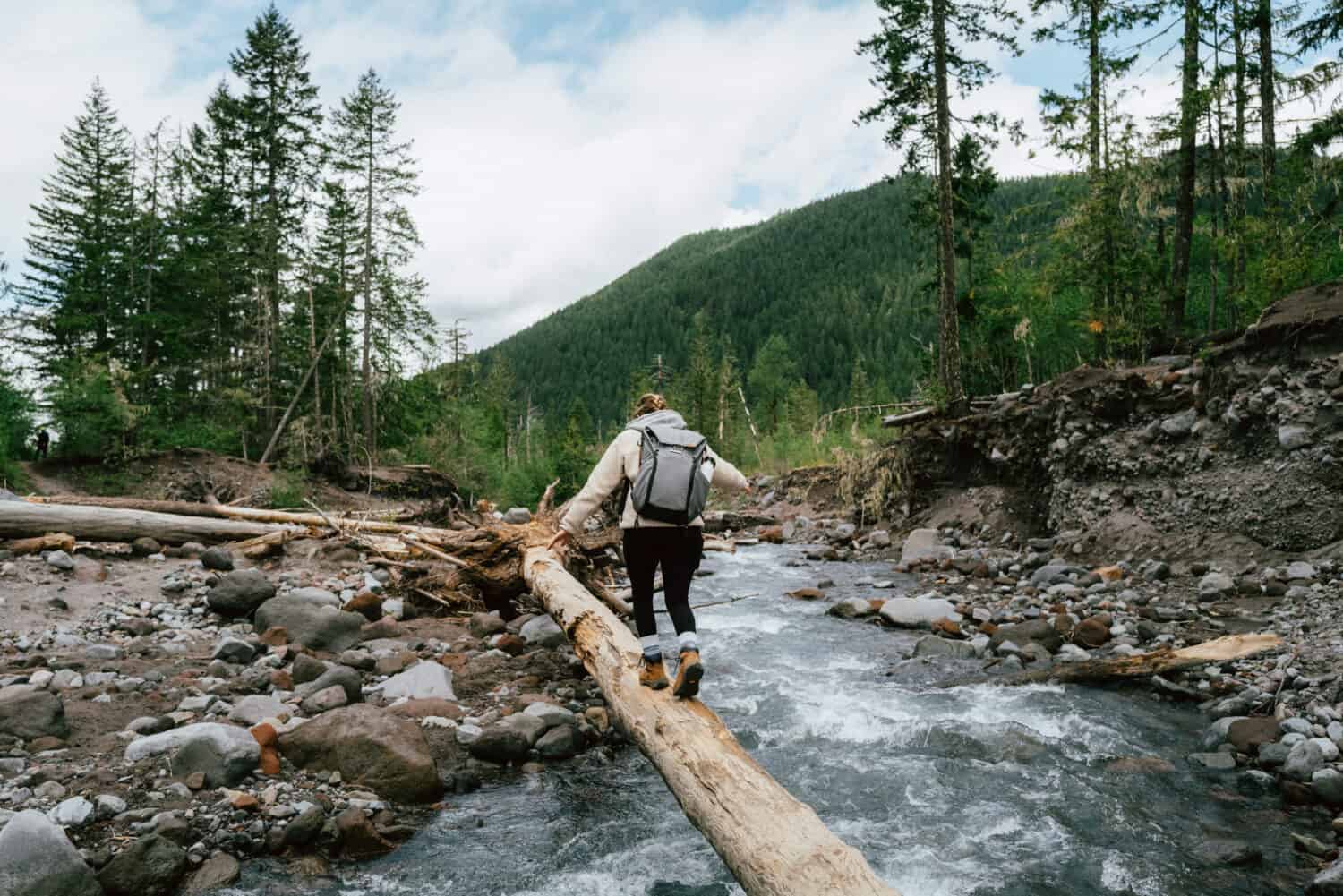
About 1.1 miles into the Ramona Falls hike, you’ll reach the Sandy River Crossing. The Forest Service has decided not to replace the seasonal bridge, so it’s up to hikers to determine where and when to cross safely.
Therefore, the crossing of the river is now a careful balancing act on logs that change their position annually. There are safety signs prior to the crossing reminding hikers of safe river trail crossing guidelines.
You can also find that PDF on the forest service ranger district website here, if you’d like to know what to expect ahead of time.
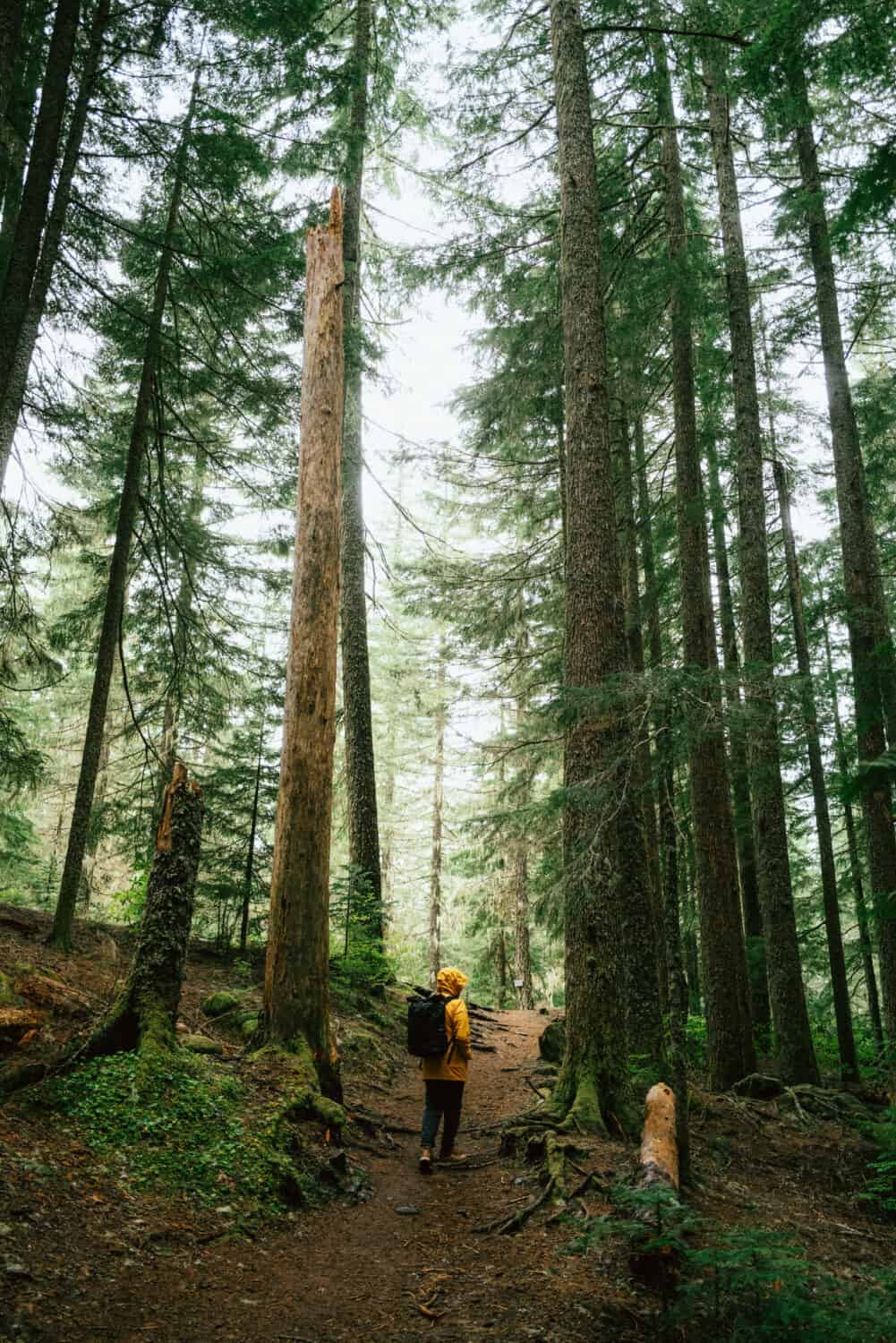
After the Sandy river crossing, the Ramona falls trail becomes more shaded, enclosed, and green. You’ll hike under a canopy of trees until you hear the soft rumble of a waterfall – that’s when you know you’re getting close!
In this last section, you’ll continue your gradual climb until you reach the falls. This was an especially challenging spot for me personally, because it was a good enough incline to make your heart rate increase.
The incline is so gradual that it tricks your brain into thinking the trail is flat, so it was a weird balance of difficulty and distance to grapple with!
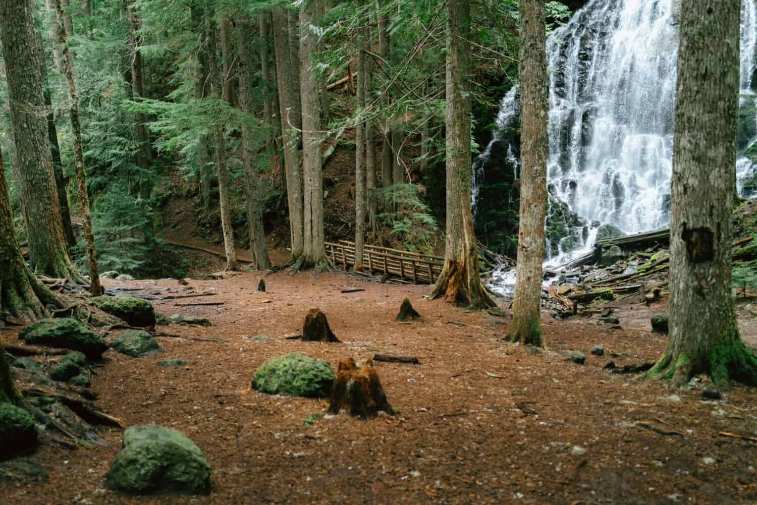
Finally, you’ll hear the falls and emerge into a landing of some sort, with views of the waterfall from a few hundred feet away. Those first few seconds in view will surely make you stop in your tracks to soak it all in!
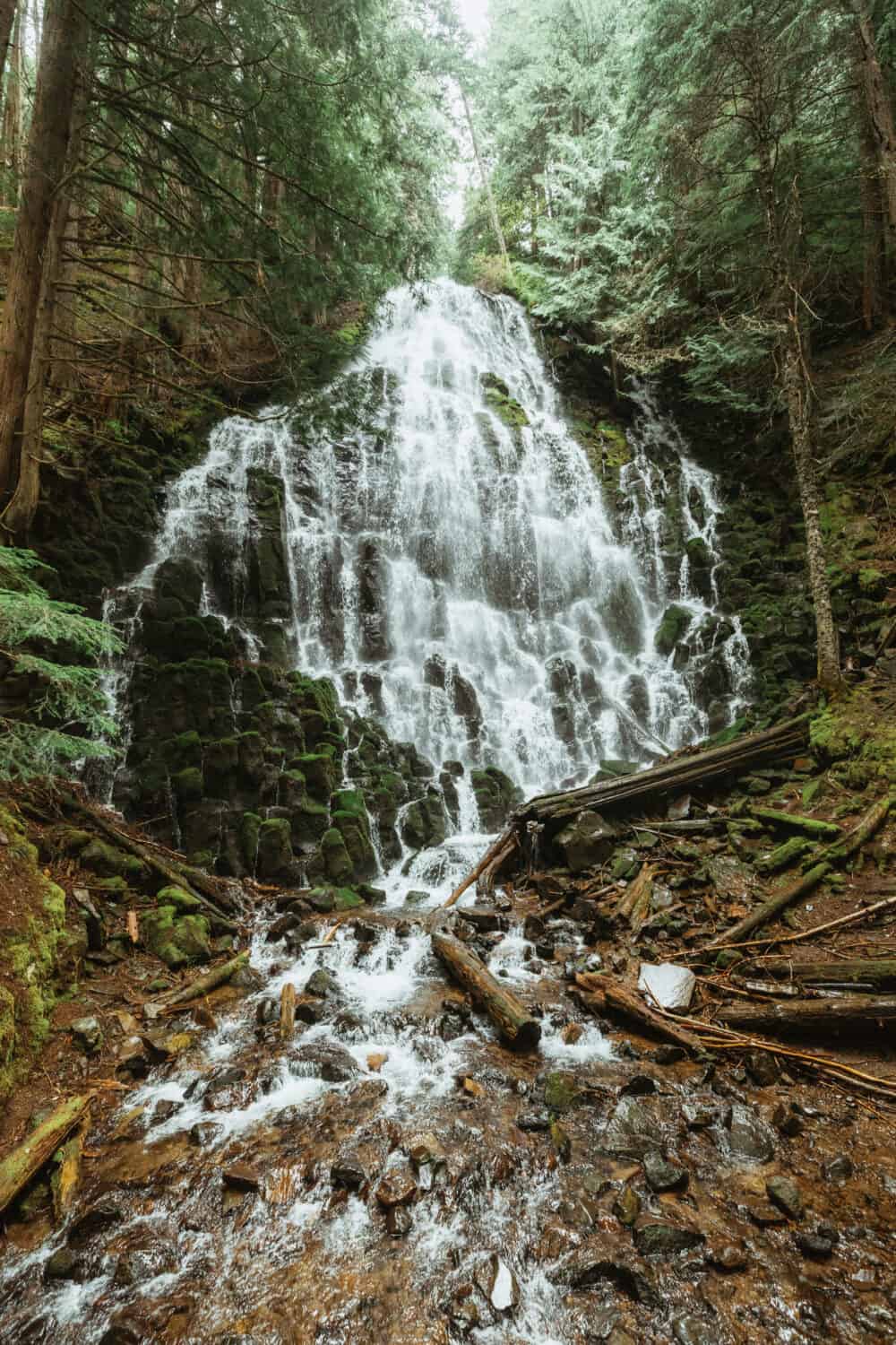
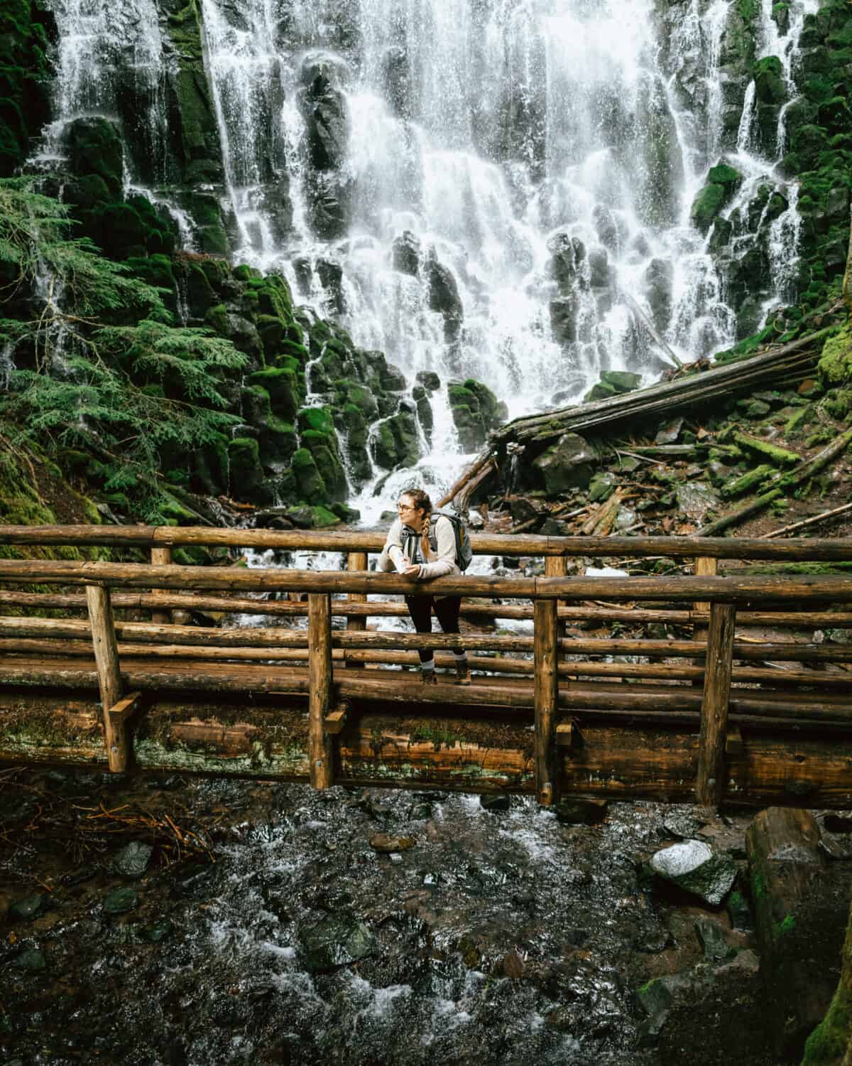
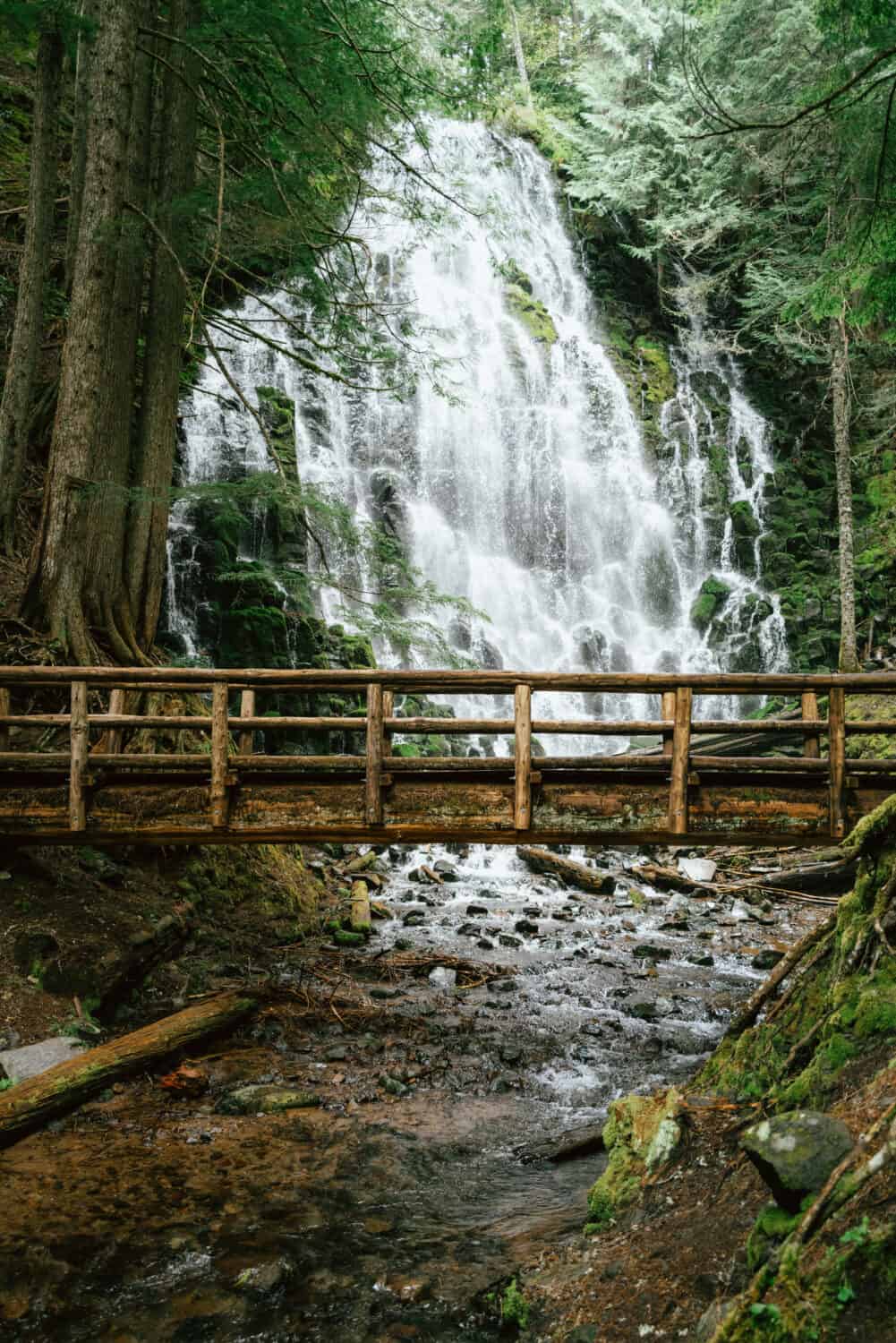
The base of the falls is the perfect place to stop, have a snack, and enjoy the view. Spend as much time as you want here! Enjoy the footbridge across the base and feel the mist of the falls. Set up your tripod and capture a long exposure of the cascading water.
No matter what you decide, remember to Leave No Trace. This means packing out any garbage you brought with you, leaving wildlife and plants alone, and sticking to the trail. Thanks for helping us keep these trails safe and clean for everyone!
Frequently Asked Questions (FAQs) for the Ramona Falls Hike
Should I take the Ramona Falls Loop? Or go back the way I came?
There are two different routes to choose from on the Ramona Falls hike. The first one is a simple out-and-back trail, going back the way you came. The second option is a loop trail, taking you up on a ridge (views) and through a small section of the Pacific Crest Trail.
Both trails are about the same distance, so it’s up to you to decide which adventure to choose – there really is no right choice.
Can I hike Ramona Falls Trail in the winter season?
Ramona Falls hike is open to visitors year-round, but you may have to take some extra steps to see the waterfall in the winter season. Here are some extra things to consider when taking this Oregon hiking trail in the winter:
- Will the access road (Muddy Fork Rd) be open?
- Do I have enough warm clothes for the trail?
- How high/cold is the Sandy Hook River Crossing? Can I do it safely?
If you want the latest updates on trail conditions, call the Zig Zag Ranger District. (503) 622-3191
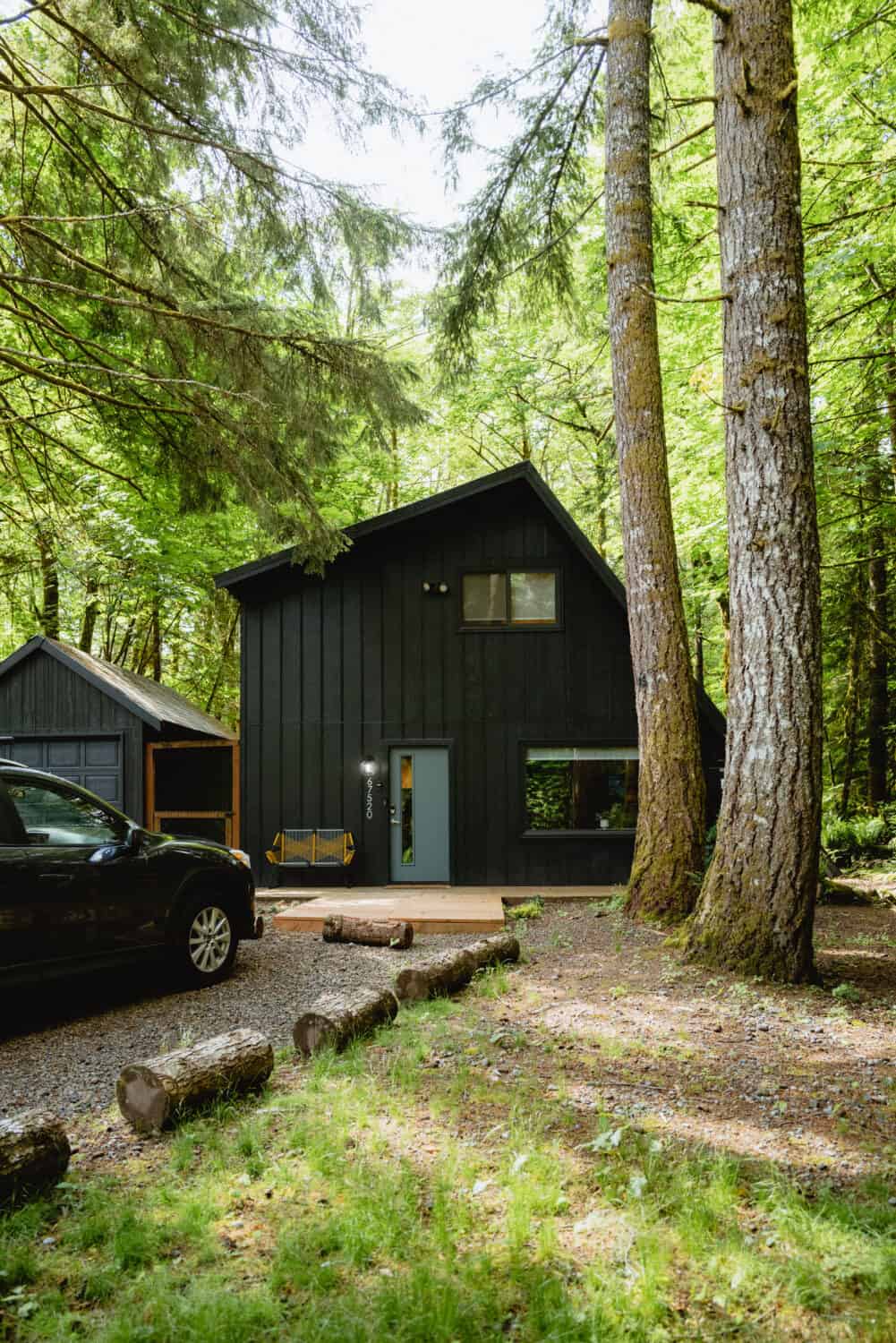
Where To Stay in Mount Hood, Oregon
Looking to stay overnight in Mount Hood, Oregon? There are several unique accommodations in the mountain towns of Government Camp, Rhododendron, and Sandy, Oregon. Here are some of our recommended places to stay near the Mount Hood National Forest:
The Timberline Lodge: For an iconic getaway in Mount Hood, the Timberline Lodge is as good as you can get! This historic lodge is front and center to all the action, including skiing and snowboarding opportunities, trails, and lots of summer activities as well.
Mount Hood Campgrounds: From RV campgrounds to cabins to yurts, there are plenty of ways to reserve camping in the Mount Hood National Forest. If you are hoping to reserve a popular spot, make sure to find out when reservations open, because they can get booked fast!
For more primitive sites on forest roads, read our guide on how to find free camping in the US!
Niksen House: This adorable Scandinavian-inspired Airbnb is close to all the action. Hikes are just a short drive away and there are tons of food options in both directions. You can also walk to the river from the house! Come with a small group of friends or family any time of year to enjoy this clean, beautiful cabin.
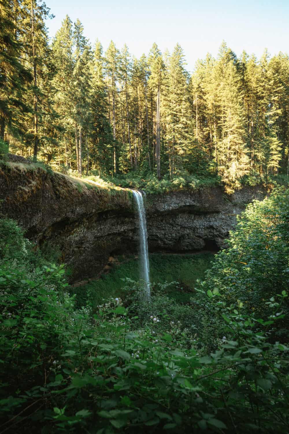
Other Things To Do Nearby
Visit Trillium Lake: This easy-to-reach lake in Mount Hood (in the Clackamas River Ranger District) is known for its picturesque view of the mountain, and tons of fishing and boating opportunities. You can camp here, or spend the day at its shores.
Hike Around The Columbia River Gorge: The Columbia River Gorge is known for its huge collection of iconic Oregon waterfalls to visit, hiking opportunities, and backpacking options. For easy stop ideas along this route, see the famous Multnomah Falls, Latourell Falls, or the Vista House. For adventures across the river in Washington, take the beautiful Falls Creek Falls trail to visit some Washington waterfalls too!
Explore The Mysterious Maryhill Stonehenge: Across the Columbia River on the Washington side is a World War I memorial site called the Maryhill Stonehenge. Here, you can visit a replica of the ancient Stonehenge in England, and enjoy views of Mount Hood in the distance and the river right below. Come during sunrise or sunset for a more magical experience!
Take an Eastern Oregon Road Trip: You’ve already made the drive over the mountain – now you can descend right into eastern Oregon! This part of Oregon is full of unique geological wonders. The Painted Hills, Wallowa Mountains, and Hells Canyon are just the beginning. Take our Eastern Oregon road trip route across this part of the state for a memorial adventure.
Have you been to Ramona Falls in Mount Hood, Oregon? What was your experience like? Tell us all about it in the comments below!
MORE OREGON ADVENTURES
The Complete Oregon Road Trip Route (5 Days to Two Weeks!)
The Ultimate Oregon Coast Road Trip Itinerary (4 Itineraries!)
The15 Best Oregon Photography Locations
9 Beautiful Places To See On The Southern Oregon Coast
Hike Crescent Beach Trail on the Oregon Coast


