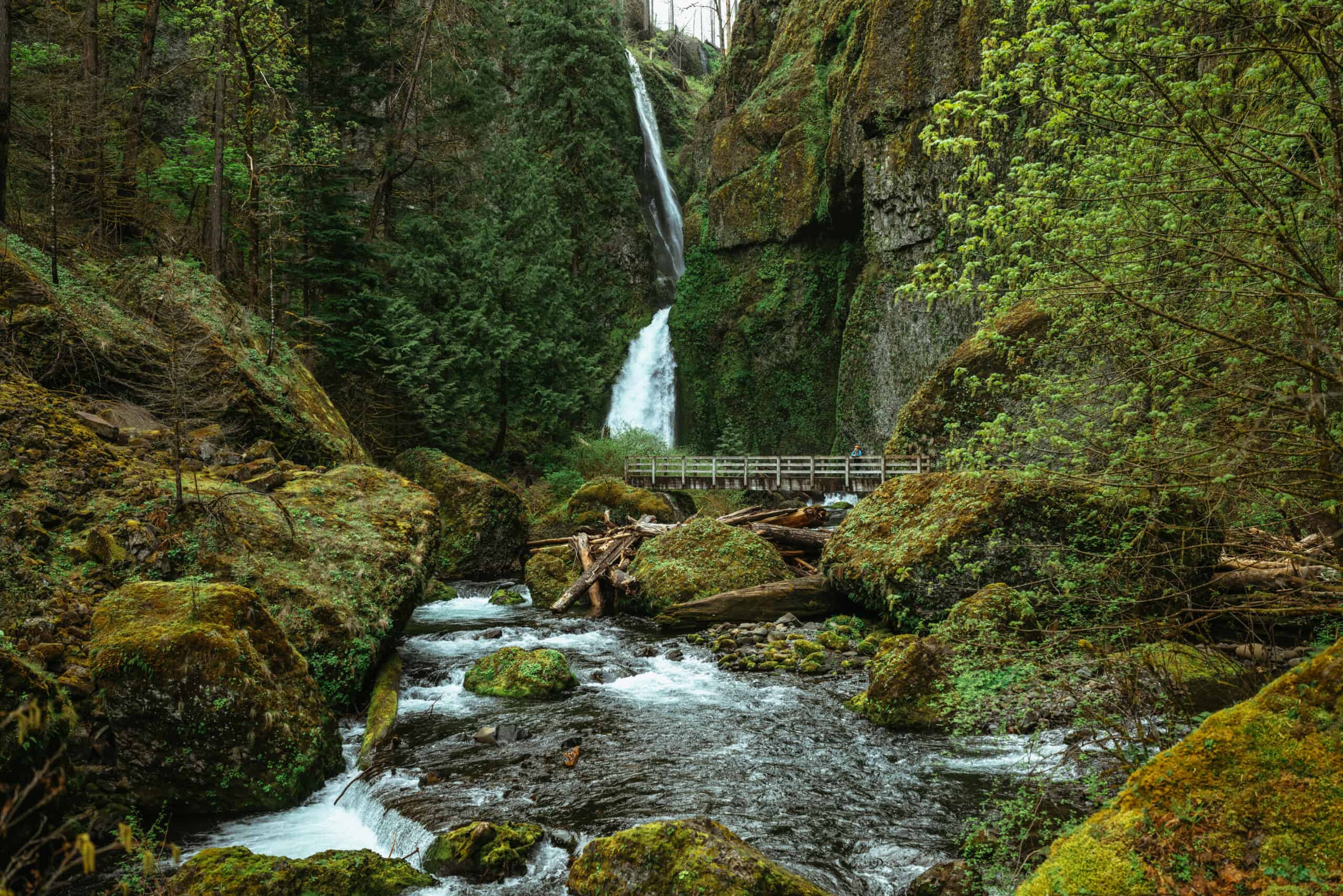
Carving the border between Washington and Oregon, the Columbia River Gorge is filled to the brim with things to do in the PNW and jaw dropping waterfalls.
One of the best ways to enjoy the Columbia River Gorge is by hiking it!
Keep reading to learn all about the best hikes in the Columbia River Gorge and where to find them!


Essential Hiking Tips For Visiting The Columbia River Gorge
So, what are some things to know about hiking in the Columbia River Gorge? New changes are constantly happening, so here are the must-know facts at of recent:
Permit Requirements: The Waterfalls Corridor (Highway 30) does not require a timed use permit in 2024, but you should expect heavy traffic. Multnomah Falls I-84 ( Exit 31) requires a timed-use permit from May 24th – September 2nd, from 9 am-6 pm daily. You can reserve your tickets here.
Parking lots fill up FAST: A ticket does not guarantee you a parking space. Come on a weekday for an easier time finding parking. You can also visit ticket-free before 9 am, and after 6 pm for less traffic and congestion.
The best time to hike in the Columbia River Gorge is spring through fall: Winters can be icy and inaccessible.
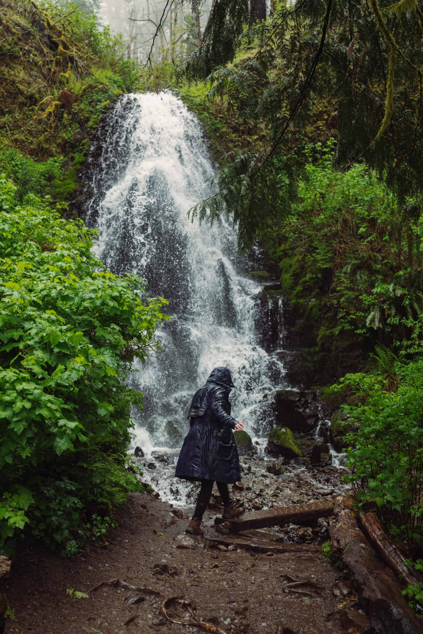
Always prepare for rainy weather: It’s the Pacific Northwest after all! Bring a rain jacket and reliable hiking boots.
Allow lots of buffer time: Between taking photos, stopping for breaks, and getting through traffic, time adds up fast. Give yourself plenty of buffer time in between hikes.
Columbia Bridge Crossing Tolls: Bridge of the Gods and Hood River Bridge both require a $2-3 cash fee for crossing one way.
High winds? DON’T HIKE. The 2017 Eagle Creek Fire made the cliffside trees unstable and dangerous. In times of high winds, reschedule your hikes for another day.
Looking for more hiking resources? We got you covered with these posts:
The 12 Best Hikes In The Columbia River Gorge
- Essential Hiking Tips For Visiting The Columbia River Gorge
- The 12 Best Hikes In The Columbia River Gorge
- 1. Multnomah Falls Trail
- 2. Eagle Creek Trail (To Tunnel Falls)
- 3. Wahkeena to Fairy Falls
- 4. Mosier Plateau Hike
- 5. Wahkeenah Falls Loop Trail
- 6. Dry Creek Falls Via PCT
- 7. Horsetail and Ponytail Falls
- 8. Angel’s Rest
- Best Hikes in The Columbia River Gorge (Washington Side)
- 9. Beacon Rock Trail
- 10. Dog Mountain Trail
- 11. Coyote Wall Loop Trail
- 12. Mount Defiance Trail
1. Multnomah Falls Trail


- Trailhead Coordinates: 45.578312,-122.113812
- Length in miles: 2.3 miles, out-and-back
- Elevation Gain: 803’
- Difficulty: Medium
- Pass Required: Yes, during summers
- Dogs Allowed? Yes, on leash
- Bathrooms at Trailhead: Yes
Multnomah Falls Trail is one of the best Oregon hikes because of the stunning Columbia River Gorge falls you will see while on this trail. (It’s more than just the famous namesake falls!)
Moreover, this is one of the best Oregon photography locations, as it features the stunning Multnomah Falls and is easily accessible off of I-84.
You will hike along a partially paved trail with 11 switchbacks, then climb up a quick, but steep ascent to the top of the falls. Continuing on will lead you to Dutchman, Weisendanger, and Ecola Falls.
This is a very popular location to visit along the Columbia River Gorge, though less people choose to hike to the top of the falls. Plan on an early arrival time to ensure you get parking! A Timed Use Permit is required during the summer and will allow one vehicle to park at Multnomah Falls via Exit 31.
Oregon fun fact: Multnomah Falls is the tallest waterfall in Oregon at 620 feet.
It’s one of the best places to spend spring break in Oregon, because the falls are SO big then!
2. Eagle Creek Trail (To Tunnel Falls)
- Trailhead Coordinates: 45.636813,-121.919438
- Length in miles: 11.7 miles, roundtrip (25.8 miles full length, ending at Wahtum Lake)
- Elevation Gain: 1,346’
- Difficulty: Hard
- Pass Required: $5 recreation pass (per vehicle, per day)
- Dogs Allowed? Yes, on leash
- Bathrooms at Trailhead: Yes
While hiking the Columbia River Gorge, be sure to add the Eagle Creek Trail to your list, as it is one of the best day trips from Portland and hikes in the area!
The Eagle Creek Trail is popular for its adrenaline-rushing cliffside hike with views of the slot canyon and many waterfalls to pass along the way. Popular falls include Punch Bowl Falls and Tunnel Falls.
This trail is best for experienced hikers, as there are some sheer cliffs with no handrails.
The best time of year to visit Eagle Creek Trail is in the late spring through fall. It can be dangerous to hike when there’s still snowpack on the trail, and spikes are recommended.
Because it’s a popular Columbia River Gorge hike in the summer, either hike early or avoid going on the weekend to beat the crowds.
Alongside forests of old growth Douglas Firs, the Eagle Creek Trail is one of the best waterfall hikes in the Columbia River Gorge. While hiking, you’ll also see Metlako Falls, Loowit Falls, Punch Bowl Falls, Tunnel Falls (you can walk behind this one)!
3. Wahkeena to Fairy Falls


- Trailhead Coordinates: 45.573812,-122.127062
- Length in miles: ~2.2 miles, out-and-back
- Elevation Gain: ~500’
- Difficulty: Medium
- Pass Required: No
- Dogs Allowed? Yes, on leash
- Bathrooms at Trailhead: Yes
: If you’re up for a hike, but don’t want to go super far, take the Wahkeena Falls Trail to Fairy Falls. It is a great option for a quicker hike, and you’ll still get beautiful PNW views!
Fairy Falls is 1.1 miles into the Wahkeena Falls Trail and an absolute stunner. Most of this trail is paved, and you may cross a creek, so bring waterproof shoes or hiking sandals like Chacos!
Biggest feature of the trail: The biggest attractions on this trail are definitely the water feature–waterfalls and creeks! There may be downed trees on the trail, so plan accordingly.
4. Mosier Plateau Hike
- Trailhead Coordinates: 45.684812,-121.393937
- Length in miles: 2.9 miles, out-and-back
- Elevation Gain: 725’
- Difficulty: Easy/Medium
- Pass Required: No
- Dogs Allowed? Yes, on leash
- Bathrooms at Trailhead: Yes
The Mosier Plateau Hike is an easy Columbia River Gorge hike that hikers love for the gorgeous vistas of the Hood River and wildflowers.
On the trail, you’ll hike along short uphill switchbacks, pass the historic Mosier Pioneer Cemetery, and earn a beautiful view of Mosier Creek Falls.
The best time of year to visit the Mosier Plateau Hike is March through October.
Biggest feature of the trail: Wildflowers bloom during the early summer months (April and May are especially nic!) and you’ll see Mosier Creek Falls while on this hike.
5. Wahkeenah Falls Loop Trail


- Trailhead Coordinates: 45.573812,-122.127062
- Length in miles: 5.1 mile loop
- Elevation Gain: 1,640’
- Difficulty: Medium
- Pass Required: No
- Dogs Allowed? Yes, on leash
- Bathrooms at Trailhead: Yes
One of the best Columbia River Gorge hikes is the Wahkeena Falls Loop Trail, because it features two of the most famous Oregon waterfalls: Multnomah Falls and Wahkeenah Falls.
The trail is a 5.1 mile loop with 1,640’ elevation gain and takes around 4 hours to complete.
Hiking Hack: If you want to hike and see Multnomah Falls, but can’t find a parking spot (or don’t have a permit!) parking at Wahkeena Falls and taking this loop trail is a great way to do it all!
This hike is found in the Benson State Recreation Area and is best visited in the late spring through fall.
6. Dry Creek Falls Via PCT
- Trailhead Coordinates: 45.657062,-121.866687
- Length in miles: 4.4 miles, out-and-back
- Elevation Gain: 898’
- Difficulty: Easy/Medium
- Pass Required: Yes, $5 day pass or Annual Park Pass (Oregon side)
- Dogs Allowed? Yes, on leash
- Bathrooms at Trailhead: Yes
Dry Creek Falls via PCT is an incredible PNW hike that’s perfect for beginners!
It is well marked and has an extremely rewarding end with great views of Dry Creek Falls. While in the area, consider staying at the Artbliss Hotel–one of the best places to stay in the Columbia River Gorge!
While the trail is open year-round, the best time to hike Dry Creek Falls via PCT is late spring through fall. If hiking in the winter, expect snowy/icy trails.
Be sure to get there early or avoid weekends, as the parking lot can fill quickly!
You can park on the Oregon side of the Cascade Locks Bridge with an Annual Park Pass or purchase a $5 day pass, if you park near the bathrooms.
7. Horsetail and Ponytail Falls

- Trailhead Coordinates: 45.589562,-122.068687
- Length in miles: 0.8 miles, out-and-back
- Elevation Gain: 301’
- Difficulty: Medium
- Pass Required: No
- Dogs Allowed? Yes, on leash
- Bathrooms at Trailhead:
For easier Columbia River Gorge hiking, check out this short and sweet trail. Horsetail and Ponytail Falls takes around 30 minutes to complete, is a short, steep hike, and is accessible for kids.
There’s limited free parking available on the opposite side of the road, so get there early, avoid weekends, or prepare to wait for a spot!
The biggest features of the trail are definitely the waterfalls, as they are so powerful and surreal! Another great aspect of this hike is that it’s right off the Columbia River and adjacent to I-84, so it’s very accessible.
On your trek, you will first encounter Horsetail Falls, then you’ll discover Ponytail Falls, which you can walk behind (may be slippery)!
8. Angel’s Rest
- Trailhead Coordinates: 45.5602, -122.1727
- Length in miles: 4.8 miles, roundtrip
- Elevation Gain: 1,500’
- Difficulty: Medium
- Pass Required: No
- Dogs Allowed? Unknown
- Bathrooms at Trailhead: Unknown
While on your Oregon road trip, Angel’s Rest is the perfect hike to stretch your legs while driving.
It’s less than an hour from Portland and Vancouver, so it’s also a wonderful day trip! Expect to hike a couple hours with some uphill sections.
No permits are required to hike Angel’s Rest. However, it’s a popular trail, so plan accordingly.
Along the trail, you will discover an exposed bluff with stunning views of the Columbia River Gorge, hike through PNW forests, cross a footbridge, enjoy the view from the top of Coopey Falls (a 175-foot horsetail waterfall), and continue hiking until you reach the overlook of the gorge.
From the top, you’ll see Beacon Rock and Silver Star Mountain. It’s a trail that’s got everything!

Best Hikes in The Columbia River Gorge (Washington Side)
9. Beacon Rock Trail
- Length in miles: 1.5 miles out and back
- Elevation Gain: 574’
- Difficulty: Moderate
- Pass Required: Yes, Washington State Discover Pass is require ($10/day)
- Dogs Allowed? Yes, on leash
- Bathrooms at Trailhead: Yes
Beacon Rock Trail is a short but steep climb, with 52 switchbacks that take you to the top f Beacon Rock.
People who are afraid of heights beware! This dizzying trail is close to the edge of the cliffside almost the entire way! While the walkway is protected by railings, it still gives the bravest of hikers a little spook.
Once at the top, hikers can enjoy sweeping views of the Columbia River, and across the water to Oregon. It’s an unmatched hike in the Columbia River Gorge!
10. Dog Mountain Trail
- Trailhead Coordinates: 45.6993, -121.7066
- Length in miles: 6.5 miles, loop
- Elevation Gain: 2,988’
- Difficulty: Hard
- Pass Required: Yes, fee at the trailhead. America the Beautiful Access Pass accepted here.
- Dogs Allowed? Yes, on leash
- Bathrooms at Trailhead: Yes
This one’s for the experienced adventurers! Being a challenging route with high elevation gain, you should proceed with caution while hiking and ensure you have the proper gear to safely hike. Dog Mountain Trail is a tough hike, but worth it.
The best time to visit this trail is March through November. If you plan on hiking during peak wildflower season (April 29th-June 19th, you must get a permit. You should arrive early, as there’s limited parking at the trailhead.
This hike is a straight leg-burner, but so worth it! You will be rewarded with beautiful views at the top of the hike, in addition to unique high-desert flora.
11. Coyote Wall Loop Trail
- Trailhead Coordinates: 45.700563,-121.401562
- Length in miles: 6.3 miles, loop
- Elevation Gain: 1,765’
- Difficulty: Medium
- Pass Required: No
- Dogs Allowed? Yes, on leash
- Bathrooms at Trailhead: Yes
One of the best Columbia River Gorge hikes is the Coyote Wall Loop Trail, as it is perfect for hiking, mountain biking, and running.
Explorers like it for it’s year-round accessibility and for being a great day trip from Portland.
This hike is open year-round and stays beautiful year-round, too! In the spring, you can expect to see wildflowers.
The best views are at the end of the trail. It’s likely you’ll see some wildlife (including rattle snakes in the late spring/early summer, so wear long pants), wildflowers, and views of Mount Hood while on the trail!
12. Mount Defiance Trail
- Trailhead Coordinates: 47.4247, -121.5835
- Length in miles: 11 miles, roundtrip
- Elevation Gain: 3,584’
- Difficulty: Hard
- Pass Required: Yes, Northwest Forest Pass
- Dogs Allowed? Yes, may be off-leash in some areas
- Bathrooms at Trailhead: Yes
While this the Mount Defiance Trail a challenging hike, it is one of the best hikes in the Pacific Northwest because of its incredible views, wildflowers, and alpine lake.
Adventurers also enjoy this hike for fishing, camping, and backpacking. It takes around 6 hours and 45 minutes to complete.
You will need a Northwest Forest Pass when hiking the Mount Defiance Trail. You can purchase a day pass or annual pass. The best time to visit this trail is June through October, though it’s still accessible in the winter with spikes.
On this trail, you’ll pass Mason Lake, a beautiful alpine lake. The Cascade Mountain Range is the star of the show, though! From the summit, you’ll see Mount Adams, Mount Baker, Mount Rainier, Granite Mountains, Bandera Mountains, and more!