Is hiking part of your resolution this year? Or maybe you just want to get out on the trails, but don’t know where to start?
You’ve come to the right place, my friend! We present the 52 Hikes Challenge…Pacific Northwest edition!
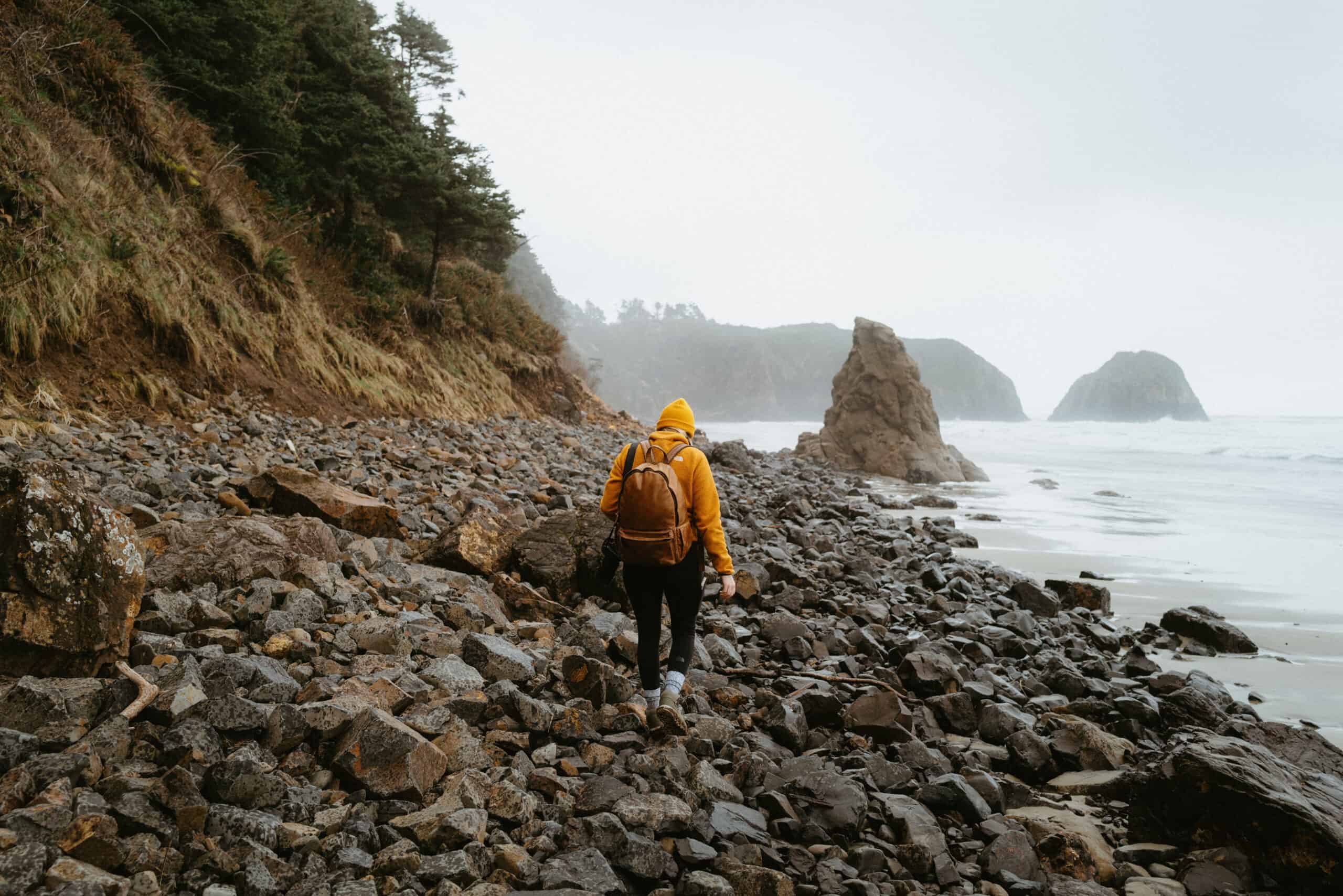
In this post, we’ve compiled the most popular hiking trails in the Pacific Northwest into an easy-to-read list: from the temperate rainforests of Washington and Oregon to the towering Coastal mountains of British Columbia!
There is a wide range of distances, difficulties, and landscapes to discover on these trails for variety all year long. Let’s get started!

52 Hikes Challenge List (Pacific Northwest Edition)
Important Note: We aren’t the creators of the 52 Hikes Challenge! Click here to read the stories of the creators, and why they believe this is an important movement for individual and collective growth!
To join a local 52 Hikes Challenge chapter, click here for the official organization’s website! This is where you can log your trails, connect with others, and officially sign p to receive a badge at the end of the challenge!
Before you begin your hikes, brush up on these important blog posts:
- 11 Best Hiking Apps To Download Before The Trail
- 7 Critical Types of Pacific Northwest Forest Passes You Should Know
- Backpacker Hygiene 101: How To Poop Outside
- 10 Essentials of Hiking in the PNW
- The 12 Best Hiking Boots for the Pacific Northwest
Print This 52 Hikes PNW Challenge!
Washington
- Barclay Lake Trail – Distance: 4.3 Miles – Elevation Gain: 387
2. Blanca Lake Trail – Distance: 7.5 Miles – Elevation Gain: 3,300 Feet
3. Blue Lake (North Cascades NP) – 4.4 Miles RT – Elevation Gain: 1,095 ft
4. Dog Mountain Trail – Distance: 6 Miles RT – Elevation Gain: 2,824
5. Granite Mountain Lookout (*Avalanche Danger*) – Distance: 8.6 Miles RT – Elevation Gain: 3,800 Feet
6. Heather Lake Trail – Distance: 5 Miles RT – Elevation Gain – 1,200 Feet
7. Heather / Maple Pass Trail – Distance: 7.1 Mile Loop – Elevation Gain: 2,000 Feet
8. Hidden Lake Lookout – Distance: 8 Miles RT – Elevation Gain: 3,300
9. Lake Ingalls Trail – Distance: 8.8 Miles RT – Elevation Gain: 2,893 Feet
10. Lake Serene / Bridal Veil Falls – Distance: 7.5 miles RT – Elevation: Gain 2,716 Feet
11. Lake TwentyTwo – Distance: 5.7 Miles – Elevation Gain – 1,400 Feet
12. Mount Pilchuck Trail – Distance: 5.5 Miles – Elevation Gain – 2,200 Feet
13. Mount Storm King Trail – Distance: 5.3 Miles RT – Elevation Gain – 2,076 Feet
14. Mount Fremont Lookout Trail – Distance: 5.7 Miles RT – Elevation Gain: 1,151 Feet
15. Mount Si Trail – Distance: 7.8 Miles RT – Elevation Gain: 3,150 Feet
16. Naches Peak Loop Trail – Distance: 3.3 Mile Loop – Elevation Gain: 600 Feet
17. Rialto Beach Hole in the Wall Trail: 4.0 Miles RT – Elevatioon Gain: >100 Feet
18. Skyline Trail – Distance: 5.5 Miles RT – Elevation Gain: 1,700 Feet
19. Snow Lake Trail – Distance: 6.4 Miles RT – Elevation Gain: 1,669 Feet
20. Tolmie Peak Trail – Distance: 6.4 Miles – Elevation Gain: 1,010 Feet
21. Wallace Falls Trail -Distance: 5.2 Mile RT – Elevation Gain: 1,482 Feet
Oregon
22. Cape Lookout Trail – Distance: 4.7 Miles RT – Elevation Gain: 800 Feet
23. Cascade Head Trail – Distance: 6.3 Miles – Elevation Gain: 1,381 Feet
24. Cathedral Tree Trail – Distance: 1.6 Miles RT – Elevation Gain: 393 Feet
25. Crescent Beach Trail – Distance: 2.3 Miles RT – Elevation Gain: 538 Feet
26. Drift Creek Falls – Distance: 3 Miles – Elevation Gain: 485 Feet
27. God’s Thumb Trail – Distance: 4.3 Miles – Elevation Gain: 1,131 Feet
28. Marion & Gatch Falls Trail – Distance: 5 Miles – Elevation Gain: 1,102 Feet
29. Munra Point Trail (Pending Opening) – Distance: 4.7 Miles – Elevation Gain: 2109
30. Neahkahnie Mountain Trail (South Trailhead) – Distance: 2.8 Miles RT – Elevatiion Gain: 866 Feet
31. Proxy Falls Loop Trail – Distance: 1.6 Miles – Elevation Gain: 147 Feet
32. Ramona Falls Trail – Distance: 7.1 Miles – Elevation Gain: 1046 Feet
33. Short Sands Beach Trail – Distance: 1.2 Miles RT – Elevation Gain: 82 Feet
34. South Sister Trail – Distance: 12.2 Miles – Elevation Gain: 4,898 Feet
35. Tamanawas Falls Trail – Distance: 3.8 Miles – Elevation Gain: 570 Feet
36. Tamolitch Blue Pool (McKenzie River Trail) – Distance: 3.7 Miles – Elevation Gain: 305 Feet
37. Tillamook Head Traverse – Distance: 6.3 Miles Point to Point – Elevation Gain: 1,163 feet
38. Trail of Ten Falls – Distance: 8.7 Miles – Elevation Gain: 1,194 Feet
39. Tumalo Falls (Tumalo Creek Trail) – Distance: 6.5 Miles – Elevation Gain: 583 Feet
British Columbia
40. Elfin Lakes – Distance: 12.5 miles RT – Elevation Gain: 2.693 Feet
41. Golden Ears Provincial Park / Lower Falls Trail – Distance: 3.4 RT – Elevation Gain: 301 Feet
42. Joffre Lakes (Lower, Middle, and Upper Joffre Lake) – Distance: 7.7km RT – Elevation Gain: 491m
43. Lake Lovely Water – Distance: 10.1km RT – Elevation Gain: 1,140 meters
44. Mount Brunswick – Distance: 12.6km RT – Elevation Gain: 1,556 meters
45. Mount Seymour – Distance: 8.2km RT – Elevation Gain: 577 meters
46. Panorama Ridge Trail – Distance: 29.1km RT – Elevation Gain: 1,573 meters
47. Rainforest Trail (Pacific Rim National Park) – Distance: 0.7 Mile Loop – Elevation Gain: >100 feet
48. Saint Marks Summit – Distsance: 10.8km RT – Elevation Gain: 605 meters
49. Sea To Sky Gondola – Distance: 11.6km RT – Elevation Gain: 955 meters
50. Watersprite Lake – Distance: 17.2km RT – Elevation Gain: 736 meters
51. Wild Pacific Trail – Distance: 1.8 miles RT – Elevation Gain: 233 Feet
52. Wedgemount Lake – Distance: 10.3km RT Elevation Gain: 1,200 meters