Post Summary: A step by step guide to Canada’s East End of Rundle Hike, outside of Canmore, Alberta.
Steep trails, rock scrambles, and high winds – sounds like a perfect hike, right? More like a perfect challenge.
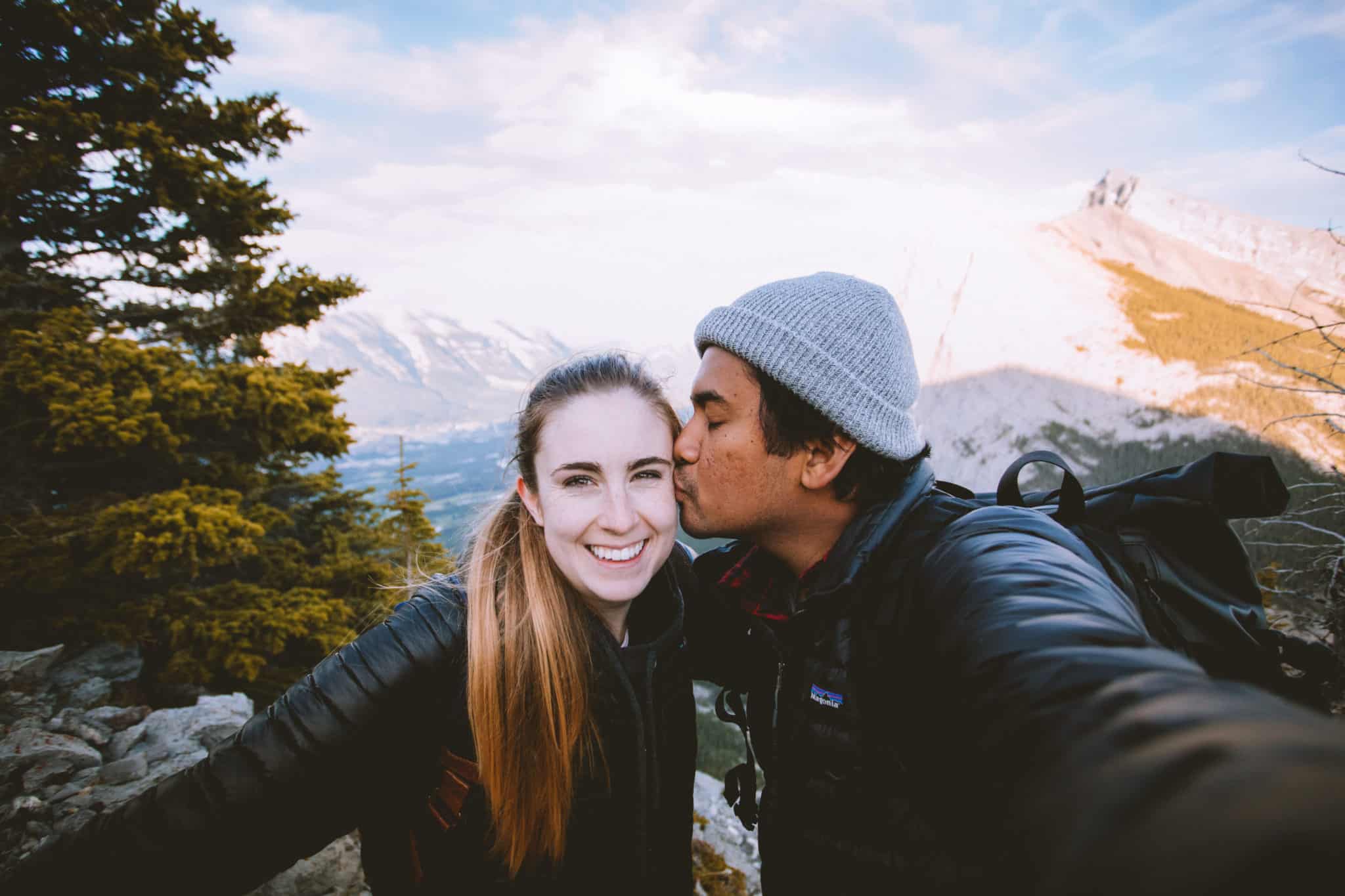
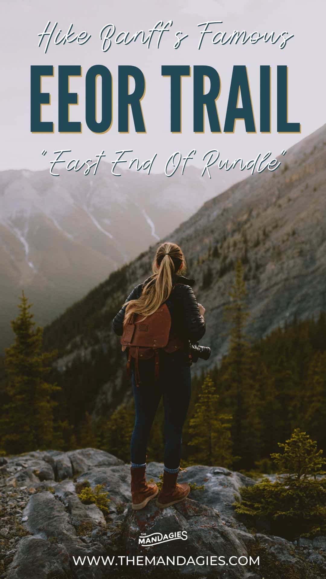
If you’ve been looking for a rewarding journey in the Canadian Rockies, look no further than the East End of Rundle Hike. When Berty and I visited Banff National Park in Canada, hiking the East End of Rundle trail was on the very top of our bucket list.
In this post, we’re sharing our experience with the EEOR hike, and how you can prepare yourself for this amazing trek. We’ll show you the best photography locations, what to expect on the trail and the best times of day to visit.
We’re also sharing gear recommendations, nearby adventures in Banff National Park, driving directions to the trailhead, and more. Let’s get outside!
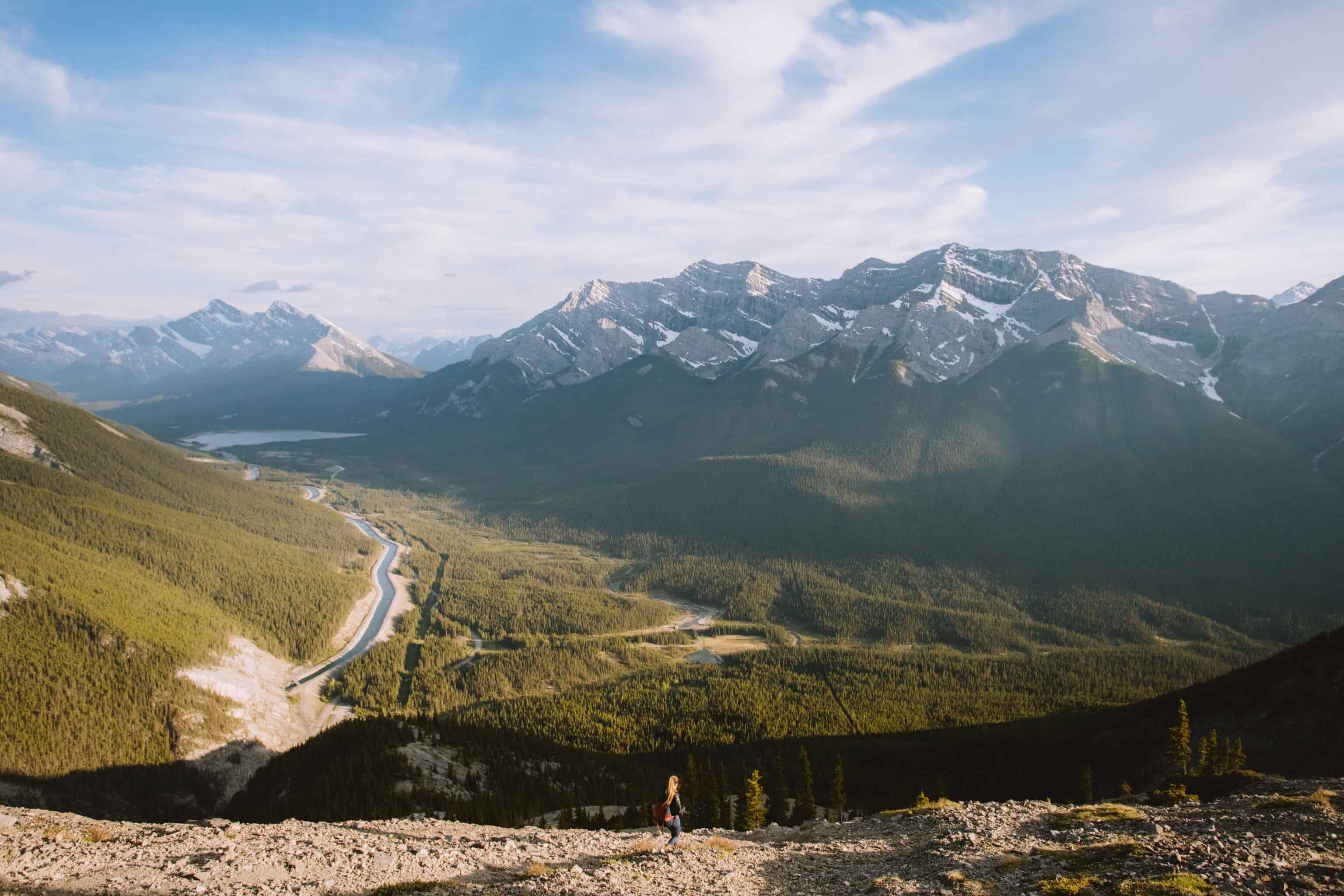
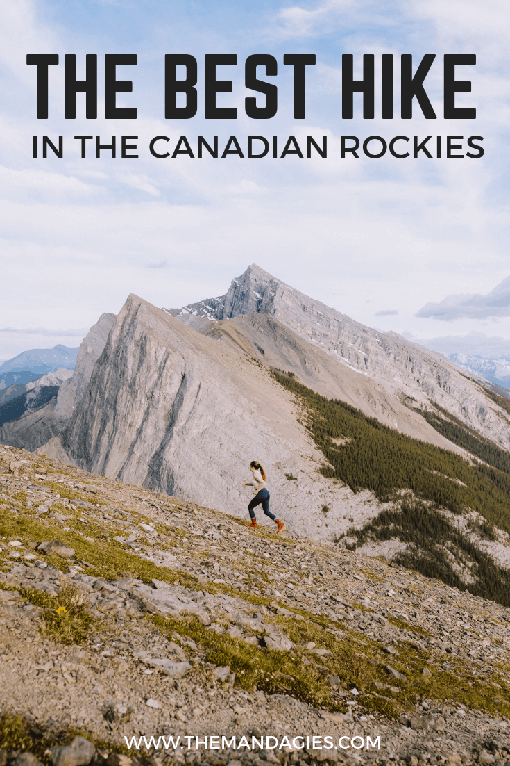
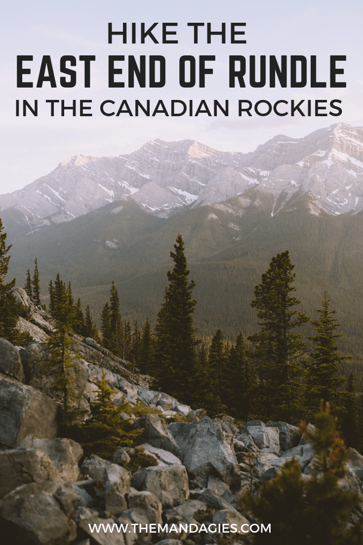
East End Of Rundle Hike (EEOR) in Alberta, Canada
Quick Stats About The EEOR Hike:
- Length: 5.8 km (3.6 miles) out and back trail.
- Elevation Gain: 807 meters (or 2854 feet) aka STEEP.
- Difficulty: Challenging. Lots of switchbacks and loose rock on the trail.
- East End of Rundle Hike Time: Around 5-6 hours to complete the entire trail.
How To Get To The Trailhead of EEOR:
The closest town to the East End of Rundle hike would be in Canmore, Alberta. This is the town just 30 minutes south of Banff.
From the town center, hikers can reach the trailhead via car in just 15 minutes. Technically, the trailhead is just outside of the Banff National Park but once hiking, trekkers will cross over into the park via an invisible line on Google Maps.
Along the way, you’ll likely pass wildlife on the road. Make sure to drive slowly and have your camera ready! Follow the Google Map below for directions to the East End of Rundle trailhead.
You will know its the East End of Rundle hike because hikers have labeled the trailhead entrance with rocks, spelling out EEOR. Make sure to look for this as you begin! If the rocks aren’t there, the trail should be across from the parking area near the reservoir. You can recognize it by the double power poles at the base.
This trail also serves as a parking lot for the Ha Ling Peak and Goat Creek trailheads if you are looking for other hikes to do in Banff.
Read More: 10 Essentials For Hiking In The Pacific Northwest

What To Expect On The East End Of Rundle Hike:
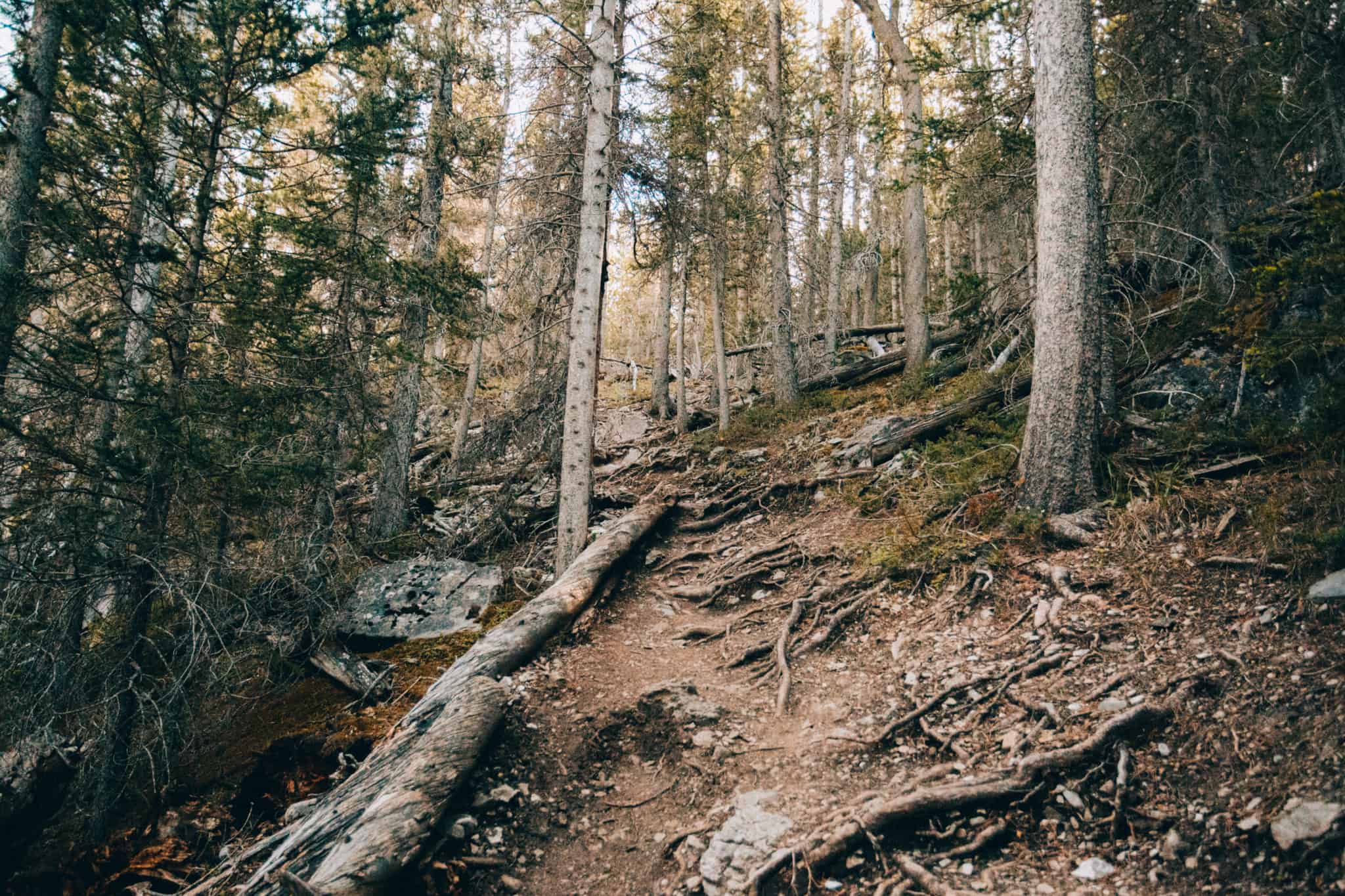
Right from the start, you will encounter steep elevation and lots of switchbacks. Take your time and set a good pace to avoid burnout. The trail crosses over rocks, roots, and some sections require using your hands and feet. Be prepared and in good shape for this hike!
The diversity of the landscape on the trail changes quickly. Expect a dense forest for the first part, the peek of views in the middle, and rocky ground and sharp winds near the top.
Make sure to pack plenty of water, and these other hiking essentials to make your trip hassle-free! This is NOT the hike to break in your new shoes, so pack a reliable and comfortable pair for an enjoyable trip.
Hiking in the winter? Make sure to bring warm clothes, hiking poles, and crampons to keep your balance on slippery sections of the trail!
Read More: Prepare For Hiking In The Pacific Northwest
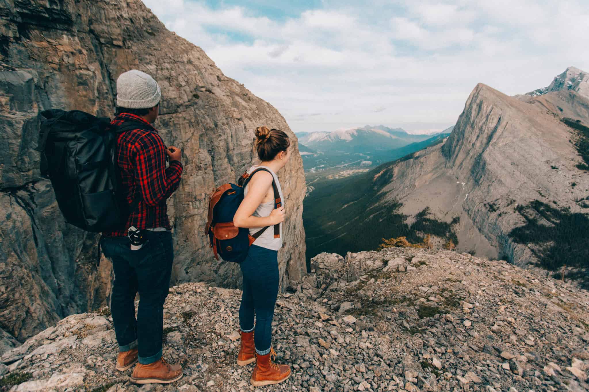
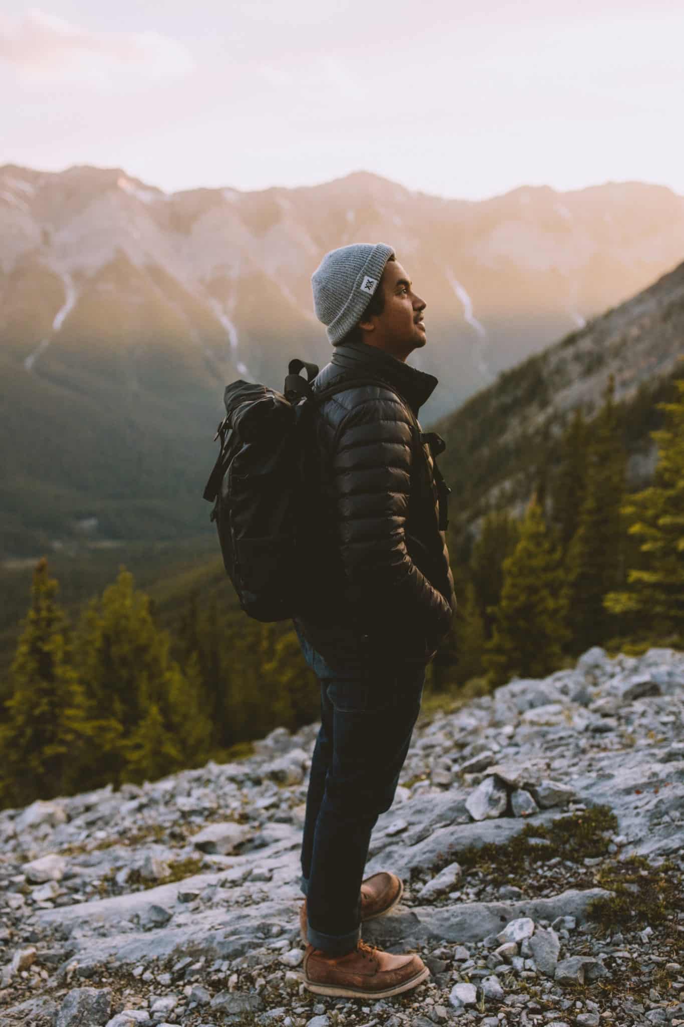
Once above the tree line, the rock scramble begins. Ideally, you will have hikers ahead of you to follow the trail. Alone, the trail can sometimes be difficult to locate. If you are hiking alone or with only your group, look for footprints and watch ahead for markers to find your way.


The scrambling part is best done with hiking poles. We didn’t have any at the time, so we ended up using our hands and feet for large portions. We’ve hiked with poles after hiking the East End of Rundle, and honestly we’re not going back!
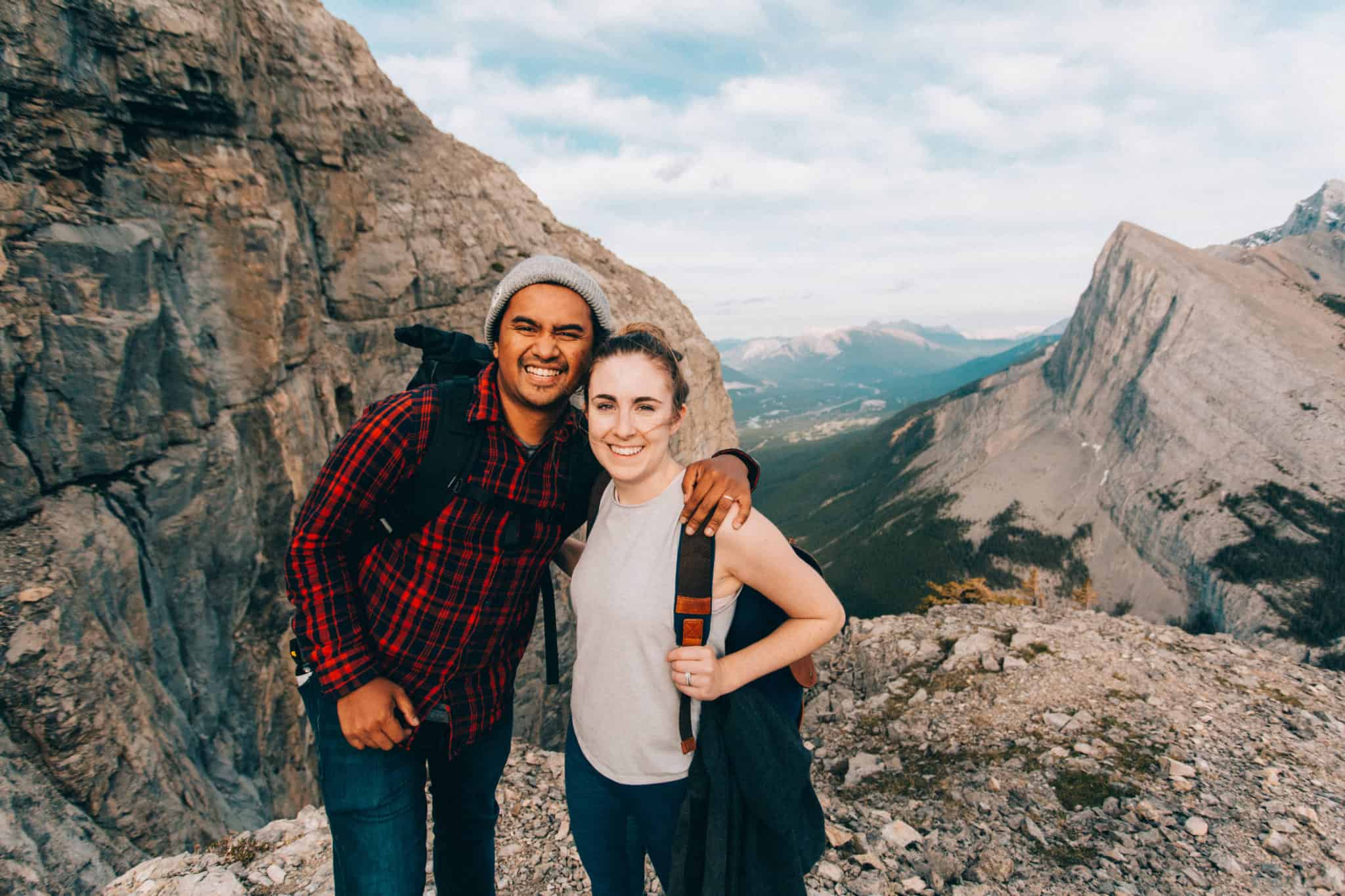
After the long section of rock scrambling, Berty and I took a break and cooked some dinner with a view of Ha Ling Peak and the Bow Valley.
Note* We didn’t make it to the true top of the trail. We decided that we were happy with the heights we climbed, and we returned after completing about 70% of the trail. It’s TOTALLY okay to go as far as you want!
Notable Views On The EEOR Hike
It’s no surprise that people take the East End of Rundle hike for its stunning (and we really mean stunning) views of the Bow Valley. Here are some of our favorite viewpoints while on the trail, and tips on how to photograph them.
Want even more photography tips for travel? Read Our 8 Essential Tips Here
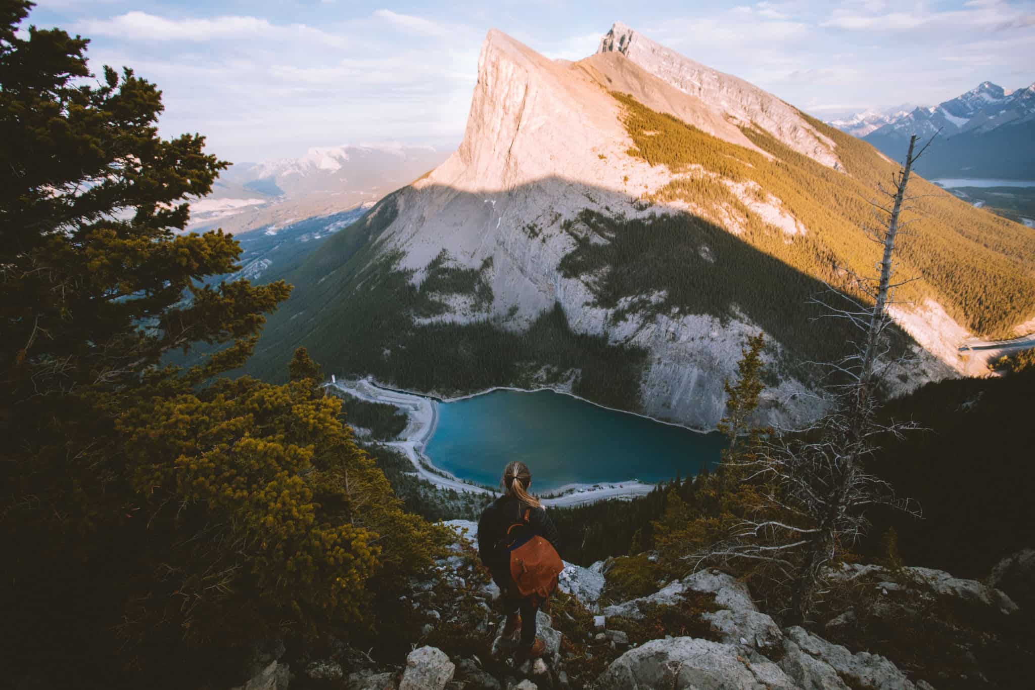
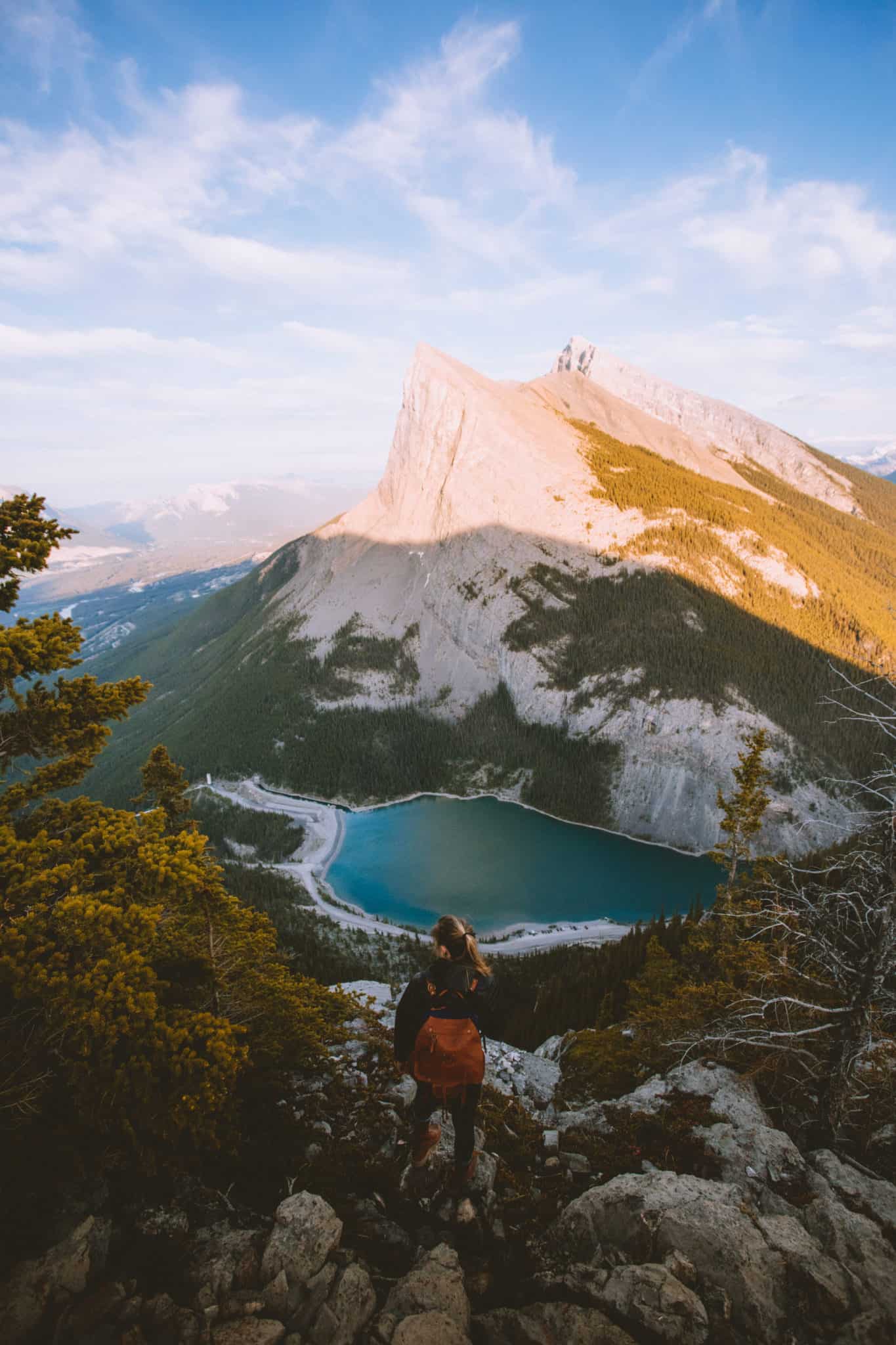
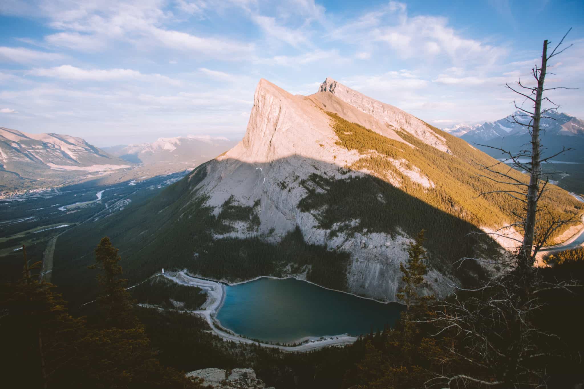
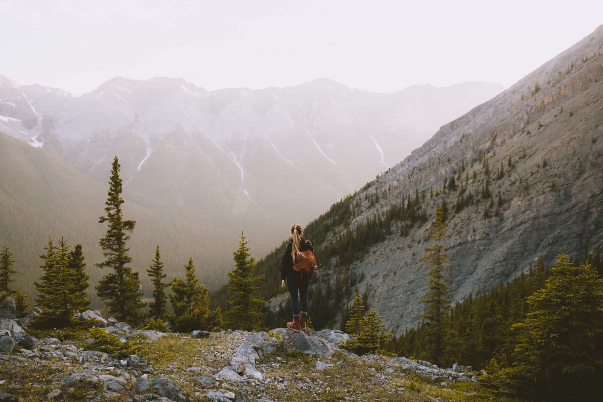
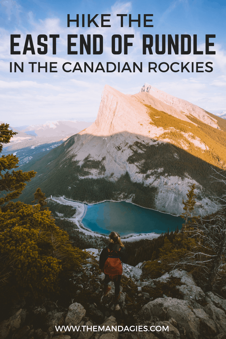
Ha Ling Peak and the Whitemans Reservoir
If you’ve seen any pictures of the East End of Rundle hike, this is likely the view you see. The dramatic Ha Ling Peak sits across the valley with Whitemans Reservoir settled at the bottom.
You can reach this viewpoint by following the ridge to the right (off the main trail) and find the height and view you like best!
Want A Similar View? Try Hiking Mount Storm King In The Olympic Peninsula
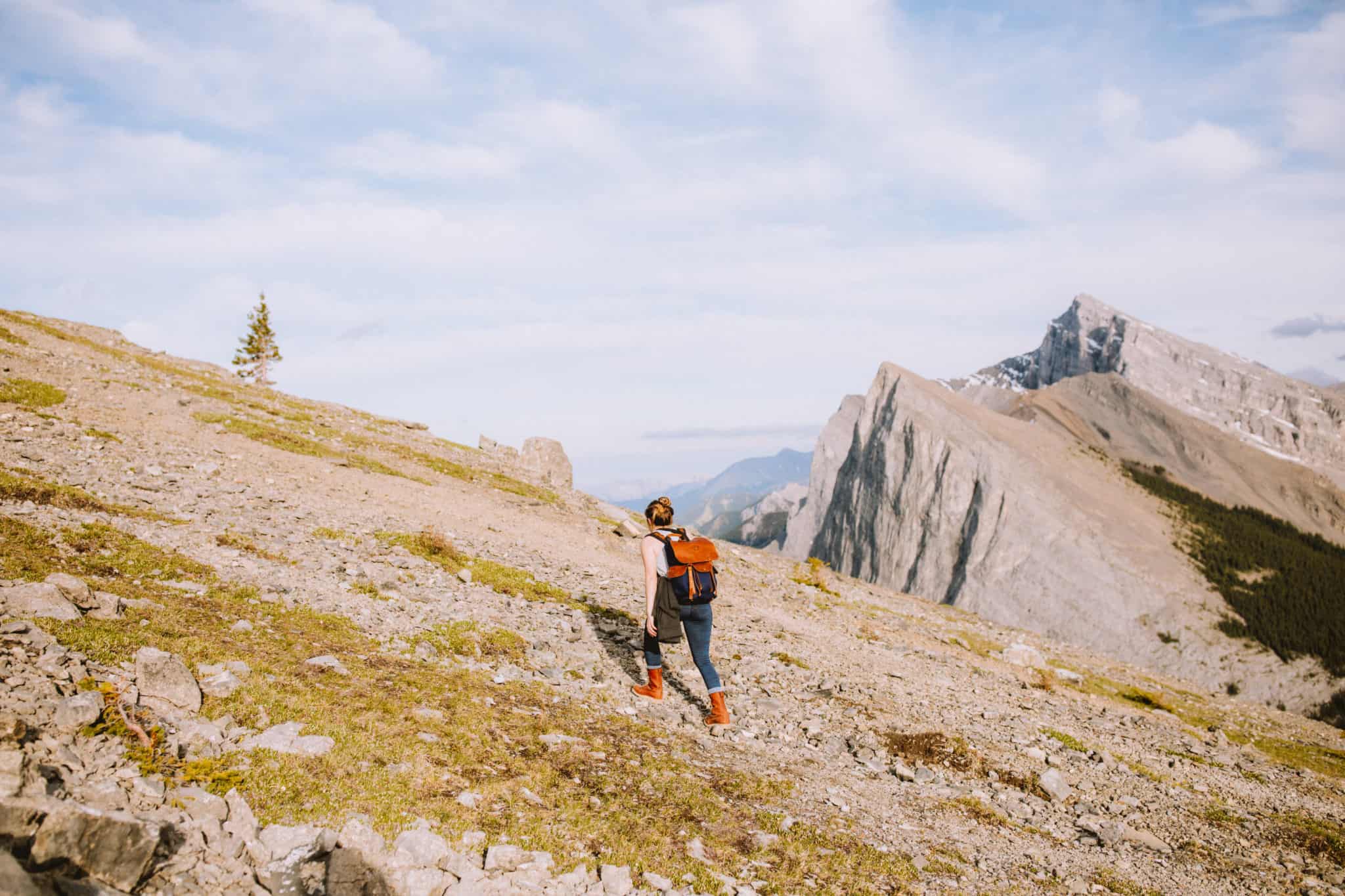
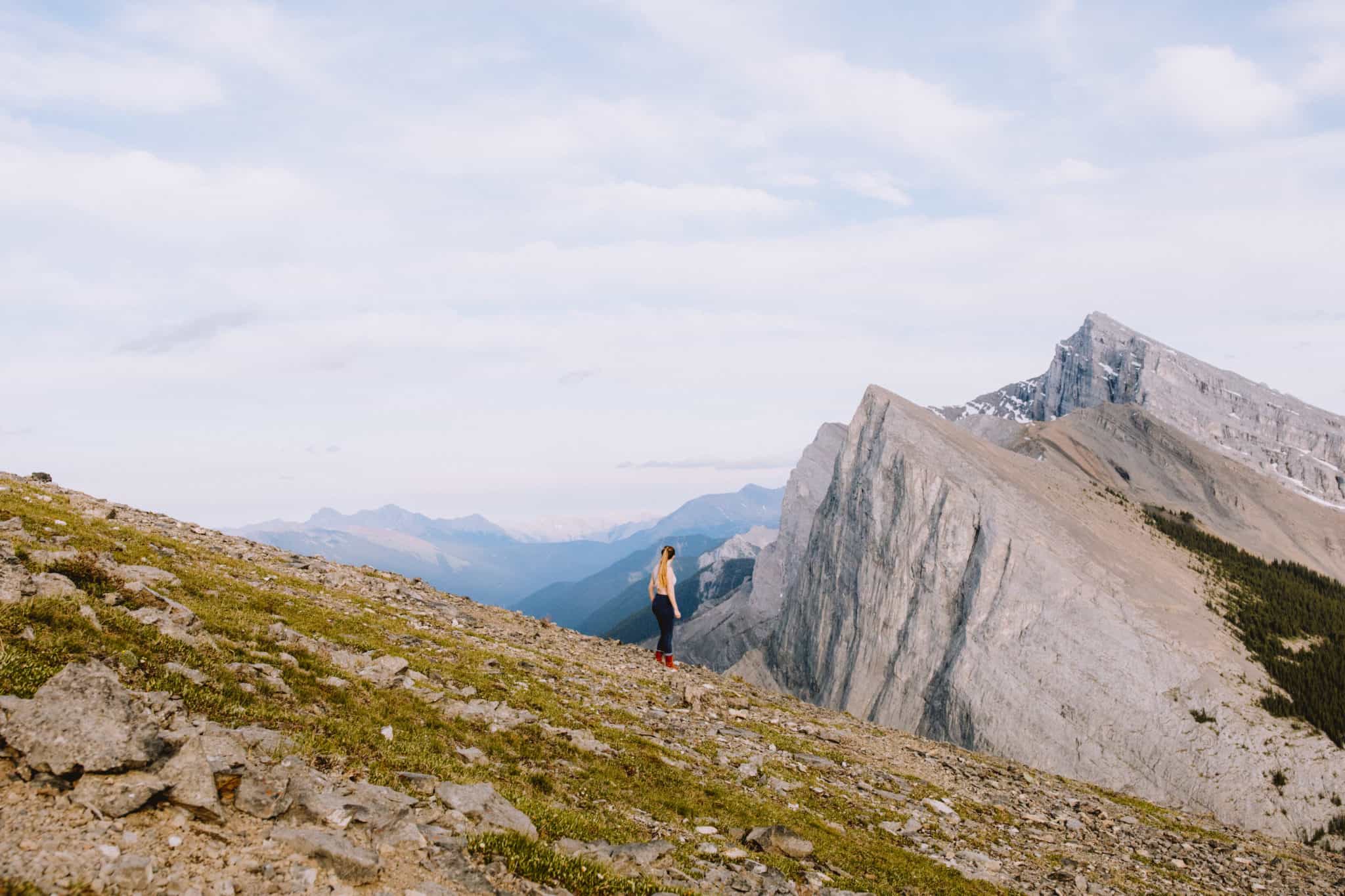
More Ha Ling Peak (Higher Elevation)
Hike maybe 1 kilometer above the first Ha Ling Peak viewpoint, and you will ascend well past the tree line into a harsh but beautiful rock scramble trail. Here along the ridge, you can experience the peak AND the valley in one incredible view.
Want To Take Amazing Travel Photos? Follow The 8 Photography Tricks

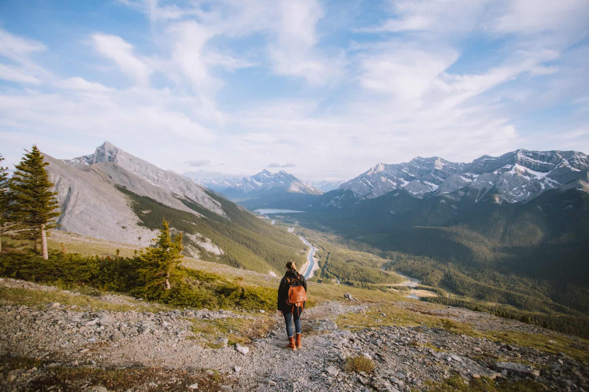
Bow Valley / Spray Lakes Vista View
As you take the East End of Rundle trail higher and higher, more of the Bow Valley comes into view. From the top, you can see the beginning of the Spray Lakes reservoir and the surrounding mountains.
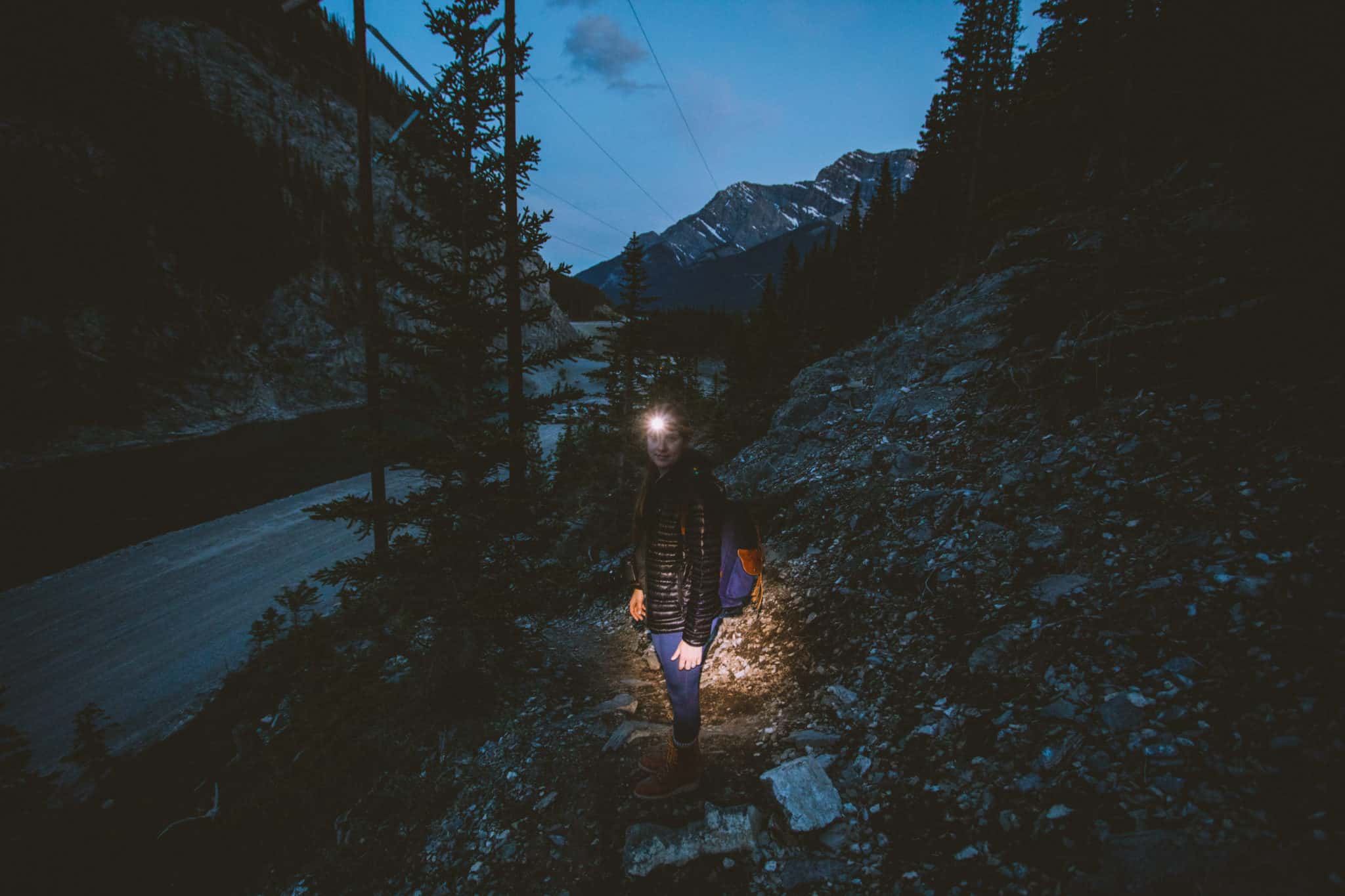
Berty and I made our descent during sunset, and the sky began turning beautiful shades right before our eyes! Which brings me to…
Sunset On The EEOR Trail
Sunset at the East End of Rundle didn’t disappoint. The sky turned a hazy summer yellow at first, giving everything a moody evening glow. As the sun finally set, the sky lit up with pinks and purples, giving a stunning view (and reflection!) of the mountains in front of us.
If you plan to hike EEOR during sunset, remember to bring a headlamp for the descent!

Pros And Cons Of The East End Of Rundle Hike
Pros of the East End of Rundle hike:
- Incredible views (obviously).
- There are many opportunities and viewpoints for epic travel photography.
- The EEOR trail is close to Canmore for ease of access and convenience.
Challenges on the EEOR Trail:
- Once you pass the tree line, the trail can be difficult to find amongst the rocks. The trail can be recognized by blue markers that are spray painted on rocks, but even then it can be difficult to locate.
- Sections are steep and exposed to harsh weather and elements.
- It’s difficult to hike in the dark. Make sure to be prepared if you’re arriving before sun up or after sundown!
EEOR Trail Report:
The East End of Rundle hike was a hard but rewarding trail. There were many places to take beautiful photographs, and hiking during sunset provided us with light that wasn’t too harsh.
We would definitely recommend this trail for medium to high-level hikers. Make sure you can withstand physical activity like scrambling and high elevation in a short amount of time!
Have you ever hiked the East End of Rundle Trail? What was your experience like? Share with us in the comments below!
MORE CANADA ADVENTURES
Take This 1-Week Jasper Itinerary
The Best Instagram Spots In Jasper National Park
Beautiful Photo Locations In Banff National Park
20 Things To Do In Banff National Park
10 Family Friendly Hikes In Jasper National Park

1 Comment